Tonbridge and Malling
Tonbridge and Malling/26/00836/MIN
Addington Quarry Addington Lane Trottiscliffe West Malling Kent
- Reference
- Tonbridge and Malling/26/00836/MIN
- Authority
- Tonbridge and Malling
- Application type
- MIN
- Address
- Addington Quarry Addington Lane Trottiscliffe West Malling Kent
- Status
- Registered
- Received
- 5 May 2026
- Started
- 5 May 2026
- Source council
- Tonbridge and Malling
- Council source record
- View public record
- Public data licence
- Open Government Licence v3.0
- Record updated
- 6 Aug 2026
- SEO index generated
- 7 Aug 2026
Location
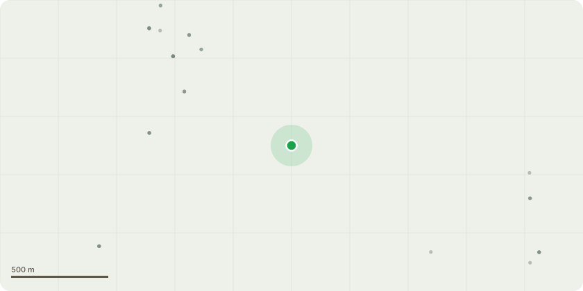
Approximate location
Proposal
Consultation by KCC: The winning and working of minerals (silica and building sand) in the form of a lateral northerly extension to the existing quarry with restoration to original ground levels to be achieved via infilling the quarry void with imported inert construction and demolition waste (C&DW); the permanent storage of indigenous overburden materials within the main quarry void for the purposes of buttressing the reservoir to the West of the main quarry void; the temporary diversion of Footpaths MR183 and MR165; the erection of an earthen screening bund; the revised phasing of extraction, infilling, buttressing and restoration works permitted at the Site to be secured via the relinquishment of all extant planning permissions and previous Section 106 legal agreements at the Site; and the progressive restoration of the Site to agriculture and biodiversity afteruses (KCC REF: KCC/TM/0006/2026)
Key dates
- Received 5 May 2026
- Started 5 May 2026
Planning history / related applications
No related planning applications have been identified in the current public OGL dataset.
Inside plotEdge
Go beyond the public record
This page is the public OGL record. plotEdge adds the private intelligence layer for this site - open it in the app to unlock:
- Ownership & title Registered owner and title from HM Land Registry.
- Viability & build potential Site scoring and development upside.
- Constraints Flood risk, green belt, conservation areas and designations.
- Approval signal Planning risk and approval-likelihood analysis.
- Comparable applications Decisions on similar nearby sites, side by side.
- Status alerts Get notified the moment this application changes.
Source: public planning application data from Tonbridge and Malling, reused under the Open Government Licence v3.0. View the council source record. Council documents and drawings are not republished on plotEdge.