Tonbridge and Malling
Tonbridge and Malling/25/02161/TPOC
Land South Of Tennis Courts And North Of Crispin Way Kings Hill West Malling Kent
- Reference
- Tonbridge and Malling/25/02161/TPOC
- Authority
- Tonbridge and Malling
- Application type
- TPOC
- Address
- Land South Of Tennis Courts And North Of Crispin Way Kings Hill West Malling Kent
- Status
- Decided
- Decision
- Approved
- Received
- 23 Dec 2025
- Validated
- 23 Dec 2025
- Started
- 23 Dec 2025
- Decided
- 13 Apr 2026
- Source council
- Tonbridge and Malling
- Council source record
- View public record
- Public data licence
- Open Government Licence v3.0
- Record updated
- 6 Aug 2026
- SEO index generated
- 7 Aug 2026
Location
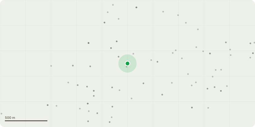
Approximate location
Proposal
1 x Veteran Beech (applicants ref. T1) - Reduce length of low lateral to east by up to 6.0 metres, Reduce upper crown which presents reduced vigour and extends beyond the main canopy profile by 3.0-3.5 meters and reduce remainder of the crown/canopy extent by up to 2.0 metres. Works to accord with veteran tree management principles. 1 x Sweet Chestnut (growing beneath the crown of Beech T1) - Coppice. Improve ground conditions through hand picking stone materials and provision of bark mulch. Treeworks necessary to enclose rooting area with low cleft chestnut kick rail. All works as specified in Ben Larkham Associates Ltd report dated 19th December 2025 and email from agent dated 25th February 2026. Trees standing in woodland W1 of Tree Preservation Order.
Key dates
- Received 23 Dec 2025
- Validated 23 Dec 2025
- Started 23 Dec 2025
- Decided 13 Apr 2026
Planning history / related applications
No related planning applications have been identified in the current public OGL dataset.
Inside plotEdge
Go beyond the public record
This page is the public OGL record. plotEdge adds the private intelligence layer for this site - open it in the app to unlock:
- Ownership & title Registered owner and title from HM Land Registry.
- Viability & build potential Site scoring and development upside.
- Constraints Flood risk, green belt, conservation areas and designations.
- Approval signal Planning risk and approval-likelihood analysis.
- Comparable applications Decisions on similar nearby sites, side by side.
- Status alerts Get notified the moment this application changes.
Source: public planning application data from Tonbridge and Malling, reused under the Open Government Licence v3.0. View the council source record. Council documents and drawings are not republished on plotEdge.