Tonbridge and Malling
Tonbridge and Malling/25/00883/NMA
J Sainsbury Angel Lane Tonbridge Kent
- Reference
- Tonbridge and Malling/25/00883/NMA
- Authority
- Tonbridge and Malling
- Application type
- Non-material amendment
- Address
- J Sainsbury Angel Lane Tonbridge Kent
- Status
- Decided
- Decision
- Approved
- Received
- 21 May 2025
- Validated
- 4 Jun 2025
- Started
- 4 Jun 2025
- Decided
- 1 Jul 2025
- Source council
- Tonbridge and Malling
- Council source record
- View public record
- Public data licence
- Open Government Licence v3.0
- Record updated
- 6 Aug 2026
- SEO index generated
- 7 Aug 2026
Location
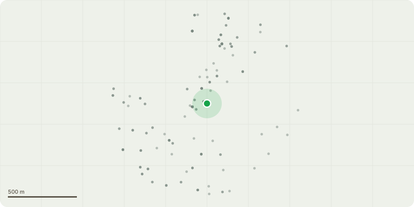
Approximate location
Proposal
Non-Material Amendment to planning permission 24/00953/PA to allow removing some of the previously proposed western elevation windows to the toilets and kiosk, these windows will be filled using the same brick to match that of existing buildings.On the eastern elevation the existing dormers were originally intended to be retained as glazed windows. The revised drawings showing that 4no. windows will now be replaced by louvers. This is due to an internal plant room located at the mezzanine level on the Back of House area and are required for that equipment to function. The sprinkler tank will now be required to be 200mm taller to allow for foundations over the culvert, as requested by the Sainsburys structural engineers. On the northern elevation, 24/00953/PA did not propose any changes to the existing roof vents these are now proposed to be replaced with glazing, as well as 3no. new glazed ribbon windows to allow in more natural light into the new entrance corridor.
Key dates
- Received 21 May 2025
- Validated 4 Jun 2025
- Started 4 Jun 2025
- Decided 1 Jul 2025
Planning history / related applications
No related planning applications have been identified in the current public OGL dataset.
Inside plotEdge
Go beyond the public record
This page is the public OGL record. plotEdge adds the private intelligence layer for this site - open it in the app to unlock:
- Ownership & title Registered owner and title from HM Land Registry.
- Viability & build potential Site scoring and development upside.
- Constraints Flood risk, green belt, conservation areas and designations.
- Approval signal Planning risk and approval-likelihood analysis.
- Comparable applications Decisions on similar nearby sites, side by side.
- Status alerts Get notified the moment this application changes.
Source: public planning application data from Tonbridge and Malling, reused under the Open Government Licence v3.0. View the council source record. Council documents and drawings are not republished on plotEdge.