Tonbridge and Malling
Tonbridge and Malling/25/00082/TNCA
North Frith North Frith Park Hadlow Tonbridge Kent
- Reference
- Tonbridge and Malling/25/00082/TNCA
- Authority
- Tonbridge and Malling
- Application type
- TNCA
- Address
- North Frith North Frith Park Hadlow Tonbridge Kent
- Status
- Unknown
- Decision
- Not Available
- Received
- 20 Jan 2025
- Validated
- 20 Jan 2025
- Started
- 20 Jan 2025
- Decided
- 24 Feb 2025
- Source council
- Tonbridge and Malling
- Council source record
- View public record
- Public data licence
- Open Government Licence v3.0
- Record updated
- 6 Aug 2026
- SEO index generated
- 7 Aug 2026
Location
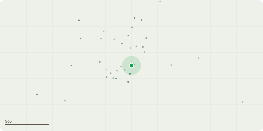
Approximate location
Proposal
T21 Mid mature sycamore with significant decay at base - Dismantle in sections to near ground levelT15 Mid mature Sycamore on North side of driveway - Inspect cavity at approx 9mT29 Dead horse chestnut overhanging driveway - Dismantle in sections to near ground levelT41 Declining Horse Chestnut on North side of driveway - Dismantle in sections to near ground levelT55 Large mature Oak on North side of driveway Pronounced buttressing all round. Gymnopus fusipes fruiting bodies at base to north and north east - Perform structural integrity testT107/T108 mid mature Ash with dieback and adjacent small squirrel damaged Sycamore - Dismantle to near ground levelT170 Small Lime on south side of driveway - Prune back to clear lamp column and lift over driveway to approx 4mT128/T130 two mature Ash by path into woodland, with advanced Ash dieback throughout crown - Dismantle in sections to near ground levelT226 Walnut adjacent to parking area - Lift canopy to approx 3m to give space to parking areasG40 Approx 41 Ash (highlighted by blue dot), spread through wooded belt alongside Ashes lane. All showing advance symptoms of Ash dieback - Fell to near ground level.T627 Very large mature Ash approx 80% defoliation from Ash dieback disease - Dismantle in sections to near ground levelT629 Mature Beech in wooded belt adjacent to Ashes Lane. Upper canopy completely dead. Woodpecker hole at 13.5m - Reduce to "Pollard" at approx 10m
Key dates
- Received 20 Jan 2025
- Validated 20 Jan 2025
- Started 20 Jan 2025
- Decided 24 Feb 2025
Planning history / related applications
No related planning applications have been identified in the current public OGL dataset.
Inside plotEdge
Go beyond the public record
This page is the public OGL record. plotEdge adds the private intelligence layer for this site - open it in the app to unlock:
- Ownership & title Registered owner and title from HM Land Registry.
- Viability & build potential Site scoring and development upside.
- Constraints Flood risk, green belt, conservation areas and designations.
- Approval signal Planning risk and approval-likelihood analysis.
- Comparable applications Decisions on similar nearby sites, side by side.
- Status alerts Get notified the moment this application changes.
Source: public planning application data from Tonbridge and Malling, reused under the Open Government Licence v3.0. View the council source record. Council documents and drawings are not republished on plotEdge.