Tonbridge and Malling
Tonbridge and Malling/25/00047/TPOC
Taddington Valley Walderslade Woods Chatham Kent
- Reference
- Tonbridge and Malling/25/00047/TPOC
- Authority
- Tonbridge and Malling
- Application type
- TPOC
- Address
- Taddington Valley Walderslade Woods Chatham Kent
- Status
- Decided
- Decision
- Approved
- Received
- 14 Jan 2025
- Validated
- 14 Jan 2025
- Started
- 14 Jan 2025
- Decided
- 25 Feb 2025
- Source council
- Tonbridge and Malling
- Council source record
- View public record
- Public data licence
- Open Government Licence v3.0
- Record updated
- 6 Aug 2026
- SEO index generated
- 7 Aug 2026
Location
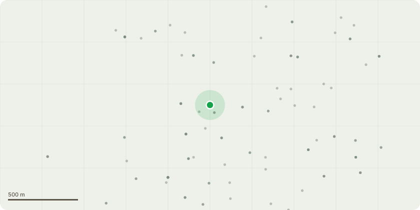
Approximate location
Proposal
Work in Taddington Valley Public Open Space along the main path.Create a 200 metre long Woodland Ride by coppicing trees under 150mm DBH either side of the main path within the area marked in green. Some single stemmed trees of this size also to be felled and left to regrow as coppice. This will form a key connection between grassland areas. It will open this area up making it more inviting for people to walk along the path, allowing light down to the ground so that more layers of woody and perennial plants can develop into a new habitat. It should assist wildlife like pollinator insects to travel along this corridor and thrive. Deadwood from the coppicing will be left stacked along the ride either side to rot down as this is another good habitat for attracting beneficial wildlife and fungi. Replant selective areas of the ride either side, at a low density with native trees and shrubs to increase diversity. The planting mix to include native Hawthorn, Dogwood, Dog rose Euonymus, Wild privet and Gueder rose. This will add another layer of complexity to the woodland habitat which is lacking at present. Standing in Woodlands W3 and W5 of Tree Preservation Order.
Key dates
- Received 14 Jan 2025
- Validated 14 Jan 2025
- Started 14 Jan 2025
- Decided 25 Feb 2025
Planning history / related applications
No related planning applications have been identified in the current public OGL dataset.
Inside plotEdge
Go beyond the public record
This page is the public OGL record. plotEdge adds the private intelligence layer for this site - open it in the app to unlock:
- Ownership & title Registered owner and title from HM Land Registry.
- Viability & build potential Site scoring and development upside.
- Constraints Flood risk, green belt, conservation areas and designations.
- Approval signal Planning risk and approval-likelihood analysis.
- Comparable applications Decisions on similar nearby sites, side by side.
- Status alerts Get notified the moment this application changes.
Source: public planning application data from Tonbridge and Malling, reused under the Open Government Licence v3.0. View the council source record. Council documents and drawings are not republished on plotEdge.