Thurrock
Thurrock/26/00173/CONDC
Land Adjcent The Flagship Centre London Road Tilbury Essex
- Reference
- Thurrock/26/00173/CONDC
- Authority
- Thurrock
- Application type
- CONDC
- Address
- Land Adjcent The Flagship Centre London Road Tilbury Essex
- Status
- Unknown
- Decision
- Advice Given
- Received
- 16 Feb 2026
- Validated
- 19 Feb 2026
- Started
- 19 Feb 2026
- Decided
- 15 Apr 2026
- Source council
- Thurrock
- Council source record
- View public record
- Public data licence
- Open Government Licence v3.0
- Record updated
- 6 Aug 2026
- SEO index generated
- 7 Aug 2026
Location
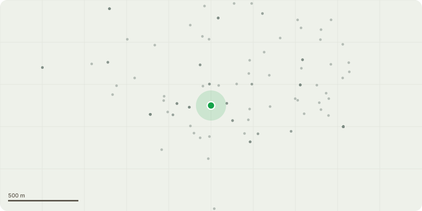
Approximate location
Proposal
Application for the approval of details reserved by condition no. 11 (Surface water drainage) 14 (Vehicle access) 23 (Renewable energy) of planning permission ref. 23/00610/FUL (Erect a 1,943sqm floor space (GEA) (1,774sqm GIA) youth centre to include a range of facilities including: sports hall, fitness suite, boxingand martial arts room and a climbing wall alongside an external multi-use games area/kick pitch and associated outdoor recreation area, car park, cycle parking, sub station, fenced boundary, paved areas including a new pavement alongside the roads, landscaping and an attenuation basin. The proposal to also include community use facilities for arts & craft, health & wellbeing, a music suite, teaching kitchen,cafe and a performing arts studio.).
Key dates
- Received 16 Feb 2026
- Validated 19 Feb 2026
- Started 19 Feb 2026
- Decided 15 Apr 2026
Planning history / related applications
No related planning applications have been identified in the current public OGL dataset.
Inside plotEdge
Go beyond the public record
This page is the public OGL record. plotEdge adds the private intelligence layer for this site - open it in the app to unlock:
- Ownership & title Registered owner and title from HM Land Registry.
- Viability & build potential Site scoring and development upside.
- Constraints Flood risk, green belt, conservation areas and designations.
- Approval signal Planning risk and approval-likelihood analysis.
- Comparable applications Decisions on similar nearby sites, side by side.
- Status alerts Get notified the moment this application changes.
Source: public planning application data from Thurrock, reused under the Open Government Licence v3.0. View the council source record. Council documents and drawings are not republished on plotEdge.