Three Rivers
Three Rivers/26/0799/TPO
Magisters Lodge Watford Road Croxley Green Hertfordshire
- Reference
- Three Rivers/26/0799/TPO
- Authority
- Three Rivers
- Application type
- Tree preservation order
- Address
- Magisters Lodge Watford Road Croxley Green Hertfordshire
- Status
- Unknown
- Decision
- Consent given on work to Tree apps
- Received
- 18 May 2026
- Validated
- 18 May 2026
- Started
- 18 May 2026
- Decided
- 15 Jun 2026
- Source council
- Three Rivers
- Council source record
- View public record
- Public data licence
- Open Government Licence v3.0
- Record updated
- 6 Aug 2026
- SEO index generated
- 7 Aug 2026
Location
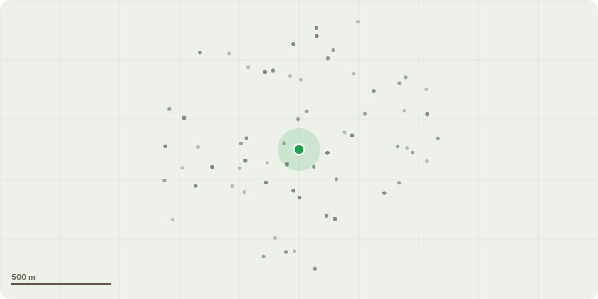
Approximate location
Proposal
Duty of Care Recommendations and Crown Management Works 2025/26 Schedule - Stage 1 WorksT1,T2 x2 Lime - Re-pollard crowns to the previous reductions points. Remove epicormic growth to clear crown obstruction to the footpath and car park entrance line of sight.G2. (Shown as G3 on TPO mapping portal) Mixed Species Hedge Line, including Laurel, Hazel, Holly - Trim back crown close to boundary edge, to reduce crown overhang back to alleviate the current conflict to parking bays and minimise bird roost positions, up to a height of 18/20ft.G6. Mature Beech Tree Line -Reduce laterals back to previous reduction points by 1-1.5m, to maintain crown spread of Beech tree line, ensuring there is suitable crown clearance from the property block and roofline.Reduce overall crown height of the group by up to 3.5m, to remove the over-extended regrowth, that is now at risk of failure from the old pruning points. Finished reduction height to be made at approx. 2/3ft above the roofline/gutter height of the adjacent property block.To restore crown heigt to a suitable size for the limited space boundary location.Works requested to maintain the crowns of the mixed species trees and hedging span, to suitable size/spread for the location.To alleviate crown conflict to structures and reduce excess shading to properties within the property block.
Key dates
- Received 18 May 2026
- Validated 18 May 2026
- Started 18 May 2026
- Decided 15 Jun 2026
Planning history / related applications
No related planning applications have been identified in the current public OGL dataset.
Inside plotEdge
Go beyond the public record
This page is the public OGL record. plotEdge adds the private intelligence layer for this site - open it in the app to unlock:
- Ownership & title Registered owner and title from HM Land Registry.
- Viability & build potential Site scoring and development upside.
- Constraints Flood risk, green belt, conservation areas and designations.
- Approval signal Planning risk and approval-likelihood analysis.
- Comparable applications Decisions on similar nearby sites, side by side.
- Status alerts Get notified the moment this application changes.
Source: public planning application data from Three Rivers, reused under the Open Government Licence v3.0. View the council source record. Council documents and drawings are not republished on plotEdge.