Three Rivers
Three Rivers/26/0510/DDD
Land Lying To The South West Of Dell Cottages The Green Sarratt Hertfordshire
- Reference
- Three Rivers/26/0510/DDD
- Authority
- Three Rivers
- Application type
- DDD
- Address
- Land Lying To The South West Of Dell Cottages The Green Sarratt Hertfordshire
- Status
- Unknown
- Decision
- Approve
- Received
- 27 Mar 2026
- Validated
- 27 Mar 2026
- Started
- 27 Mar 2026
- Decided
- 30 Mar 2026
- Source council
- Three Rivers
- Council source record
- View public record
- Public data licence
- Open Government Licence v3.0
- Record updated
- 6 Aug 2026
- SEO index generated
- 7 Aug 2026
Location
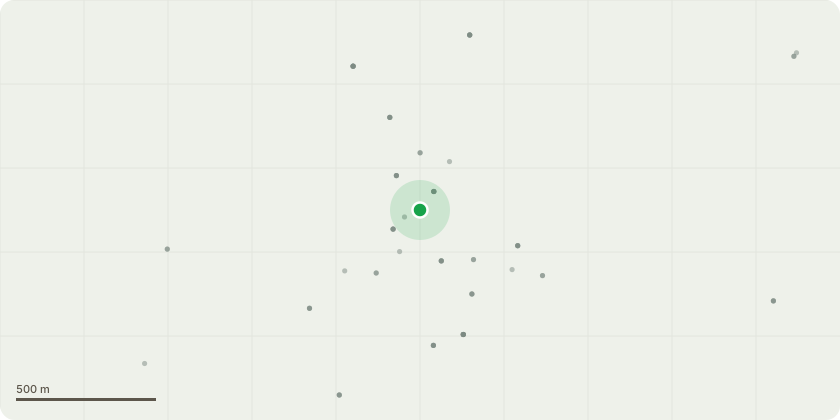
Approximate location
Proposal
T1 - Sycamore - Fell under 5 DAY NOTICERe site at below ?whatthreewords?//hike.indeed.watersAccessed from;Clutterbucks,Church LaneSarrattHertsWD3 6HLThe Sycamore is in significant declineThe stem nearest the carpark is completely dead and has now reached a point where all fine canopy has fallen off, and now more significant branches are failing. Sycamore when dead becomes very brittle and it is likely to see significant failures occurring in the canopy, which is close to the car park, overhead utilities and residential gardens and housesThe other stem does still have some life throughout, but this is sparse, in decline, and is attached to the dead stem via an inclusion. The extent of the inclusion is not visible due to ivy cover.The overall condition of the tree is very poor, and within striking distance of the school playing fields, car park and residential propertiesFor this reason we believe it should be removed as soon as is practible
Key dates
- Received 27 Mar 2026
- Validated 27 Mar 2026
- Started 27 Mar 2026
- Decided 30 Mar 2026
Planning history / related applications
No related planning applications have been identified in the current public OGL dataset.
Inside plotEdge
Go beyond the public record
This page is the public OGL record. plotEdge adds the private intelligence layer for this site - open it in the app to unlock:
- Ownership & title Registered owner and title from HM Land Registry.
- Viability & build potential Site scoring and development upside.
- Constraints Flood risk, green belt, conservation areas and designations.
- Approval signal Planning risk and approval-likelihood analysis.
- Comparable applications Decisions on similar nearby sites, side by side.
- Status alerts Get notified the moment this application changes.
Source: public planning application data from Three Rivers, reused under the Open Government Licence v3.0. View the council source record. Council documents and drawings are not republished on plotEdge.