Three Rivers
Three Rivers/26/0210/TCA
The Old School House Bridge Road Hunton Bridge Hertfordshire
- Reference
- Three Rivers/26/0210/TCA
- Authority
- Three Rivers
- Application type
- Trees in conservation area
- Address
- The Old School House Bridge Road Hunton Bridge Hertfordshire
- Status
- Unknown
- Decision
- Consent given on work to Tree apps
- Received
- 11 Feb 2026
- Validated
- 11 Feb 2026
- Started
- 11 Feb 2026
- Decided
- 6 Mar 2026
- Source council
- Three Rivers
- Council source record
- View public record
- Public data licence
- Open Government Licence v3.0
- Record updated
- 6 Aug 2026
- SEO index generated
- 7 Aug 2026
Location
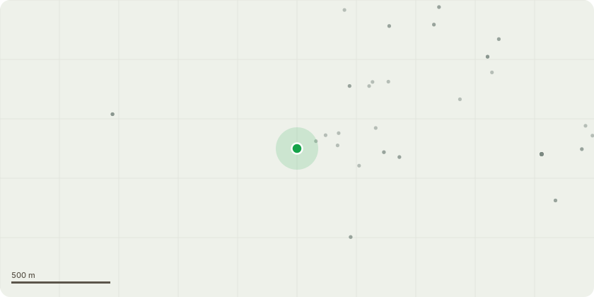
Approximate location
Proposal
T1 - Indian Bean tree to fell. This has historical pollard points which has lots of disfunctional wood. A repollard will look unsightly and not recover very well. This is also situated on a very busy main junction so failure of stems would cause major issues along with threat to life due to high foot traffic area G1 - Conifers lift by 2m. These are low and starting to cover the tariff lights T2 - dead Apple tree covered in ivy to fell to ground level T3 - Ash reduce by 2m. This is situated in the new children?s play area. This reduction is to reduce the risk of failure along with increasing the stability of the tree
Key dates
- Received 11 Feb 2026
- Validated 11 Feb 2026
- Started 11 Feb 2026
- Decided 6 Mar 2026
Planning history / related applications
No related planning applications have been identified in the current public OGL dataset.
Inside plotEdge
Go beyond the public record
This page is the public OGL record. plotEdge adds the private intelligence layer for this site - open it in the app to unlock:
- Ownership & title Registered owner and title from HM Land Registry.
- Viability & build potential Site scoring and development upside.
- Constraints Flood risk, green belt, conservation areas and designations.
- Approval signal Planning risk and approval-likelihood analysis.
- Comparable applications Decisions on similar nearby sites, side by side.
- Status alerts Get notified the moment this application changes.
Source: public planning application data from Three Rivers, reused under the Open Government Licence v3.0. View the council source record. Council documents and drawings are not republished on plotEdge.