Three Rivers
Three Rivers/25/1979/TPO
Chalmers Court Scots Hill Croxley Green Hertfordshire
- Reference
- Three Rivers/25/1979/TPO
- Authority
- Three Rivers
- Application type
- Tree preservation order
- Address
- Chalmers Court Scots Hill Croxley Green Hertfordshire
- Status
- Unknown
- Decision
- Consent given on work to Tree apps
- Received
- 14 Nov 2025
- Validated
- 14 Nov 2025
- Started
- 14 Nov 2025
- Decided
- 16 Dec 2025
- Source council
- Three Rivers
- Council source record
- View public record
- Public data licence
- Open Government Licence v3.0
- Record updated
- 6 Aug 2026
- SEO index generated
- 7 Aug 2026
Location
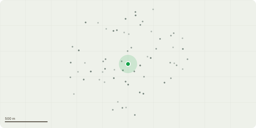
Approximate location
Proposal
T1 (T006 on map) - Deodar cedar (Cedrus deodara) - remove major deadwood. Reduce eastern lowest limb by 1.5m. Remove small narrow branch hanging almost vertically. Position of tree on hill would present likely failures as other limbs have been lost.T2 (T004 on map) - Yew (Taxus sp.) - reduce western (dwelling side) of canopy by 2-2.5m to reduce fruitful onto footpath. Fruit drops on walkways and creates health and safety issue for the disabled and elderly residents.T3 (T003 on map) - Wellingtonia (Sequoiadendron giganteum) - remove major deadwood. Health and safety as deadwood can break easily in bad weather.T6 (T012 on map) - Deodar cedar (Cedrus deodara) - remove major deadwood. Health and safety as deadwood can break easily in bad weather.
Key dates
- Received 14 Nov 2025
- Validated 14 Nov 2025
- Started 14 Nov 2025
- Decided 16 Dec 2025
Planning history / related applications
No related planning applications have been identified in the current public OGL dataset.
Inside plotEdge
Go beyond the public record
This page is the public OGL record. plotEdge adds the private intelligence layer for this site - open it in the app to unlock:
- Ownership & title Registered owner and title from HM Land Registry.
- Viability & build potential Site scoring and development upside.
- Constraints Flood risk, green belt, conservation areas and designations.
- Approval signal Planning risk and approval-likelihood analysis.
- Comparable applications Decisions on similar nearby sites, side by side.
- Status alerts Get notified the moment this application changes.
Source: public planning application data from Three Rivers, reused under the Open Government Licence v3.0. View the council source record. Council documents and drawings are not republished on plotEdge.