Three Rivers
Three Rivers/25/1738/NAC
Land To The North Of A4007 (Between Junctions 15 And 16 Of The M25) Slough Road Iver Heath Buckinghamshire
- Reference
- Three Rivers/25/1738/NAC
- Authority
- Three Rivers
- Application type
- NAC
- Address
- Land To The North Of A4007 (Between Junctions 15 And 16 Of The M25) Slough Road Iver Heath Buckinghamshire
- Status
- Decided
- Decision
- no objection
- Received
- 8 Oct 2025
- Validated
- 8 Oct 2025
- Started
- 8 Oct 2025
- Decided
- 10 Oct 2025
- Source council
- Three Rivers
- Council source record
- View public record
- Public data licence
- Open Government Licence v3.0
- Record updated
- 6 Aug 2026
- SEO index generated
- 7 Aug 2026
Location
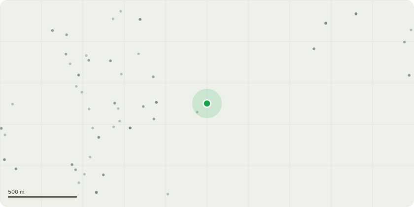
Approximate location
Proposal
Neighbouring Authority Consultation: Buckinghamshire Council - Outline application for a Motorway Service Area between M25 junctions 15 and 16 near Iver Heath with all matters reserved, comprising vehicular access from the M25 including new overbridge and realignment of the A4007 Slough Road, a controlled vehicular access from the A4007 for emergency vehicles only, including a staff drop off point and associated footway works to Slough Road, facilities buildings, Drive-Thru, fuel filling stations, electric vehicle charging, parking facilities, service yard, vehicle circulation, landscaping, woodland and amenity spaces, Sustainable Drainage Systems, a diverted public bridleway; together with associated mitigation and infrastructure and with earthworks / enabling works including mineral extraction.Buckinghamshire Council application reference PL/20/4332/OA.Mineral extraction and provision of access to facilitate the development of the Colne Valley Services and associated works proposed under planning application ref (PL/20/4332/OA) - Buckinghamshire Council application reference CM/0036/21.
Key dates
- Received 8 Oct 2025
- Validated 8 Oct 2025
- Started 8 Oct 2025
- Decided 10 Oct 2025
Planning history / related applications
No related planning applications have been identified in the current public OGL dataset.
Inside plotEdge
Go beyond the public record
This page is the public OGL record. plotEdge adds the private intelligence layer for this site - open it in the app to unlock:
- Ownership & title Registered owner and title from HM Land Registry.
- Viability & build potential Site scoring and development upside.
- Constraints Flood risk, green belt, conservation areas and designations.
- Approval signal Planning risk and approval-likelihood analysis.
- Comparable applications Decisions on similar nearby sites, side by side.
- Status alerts Get notified the moment this application changes.
Source: public planning application data from Three Rivers, reused under the Open Government Licence v3.0. View the council source record. Council documents and drawings are not republished on plotEdge.