Three Rivers
Three Rivers/24/1377/TPO
Croxley Green Business Park Hatters Lane Watford Hertfordshire
- Reference
- Three Rivers/24/1377/TPO
- Authority
- Three Rivers
- Application type
- Tree preservation order
- Address
- Croxley Green Business Park Hatters Lane Watford Hertfordshire
- Status
- Unknown
- Decision
- Consent given on work to Tree apps
- Received
- 29 Aug 2024
- Validated
- 29 Aug 2024
- Started
- 29 Aug 2024
- Decided
- 24 Sept 2024
- Source council
- Three Rivers
- Council source record
- View public record
- Public data licence
- Open Government Licence v3.0
- Record updated
- 6 Aug 2026
- SEO index generated
- 7 Aug 2026
Location
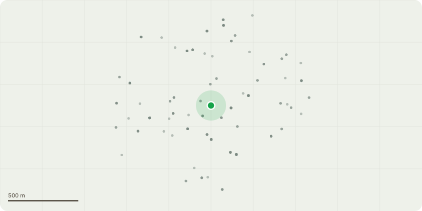
Approximate location
Proposal
Tree Number - T1Tree Type - Goat Willow (Salix caprea) Approx. Diameter at 1.5m - 0.75-1m Approx. Height - 14mApprox. Crown Spread Diameter - 10mLocation - see map, in wooded area within Croxley Park, behind residential property no. 17 EvensydeService - Section dismantleWork Required - Section dismantle tree to near ground level and leave stump in the ground. Leave all resulting debris stacked neatly below the tree in as long as sections as possibleReason - as per clients wishes, Ivy clad tree and heavily leaning toward residential private propertyPriority Code - CTree Number - T2Tree Type - self set Ash (Fraxinus excelsior) Approx. Diameter at 1.5m - 0.1-0.3mApprox. Height - 10mApprox. Crown Spread Diameter - 5mLocation - see map, in wooded area within Croxley Park, behind residential property no. 19 EvensydeService - Section dismantleWork Required - Section dismantle tree to near ground level and leave stump in the ground. Leave all resulting debris stacked neatly below the tree in as long as sections as possibleReason - as per clients wishes, proactive work as tree is self set and very close to the residential private property, liable to become very problematic and would require continuous repeated works to control and contain overall size of tree Priority Code - C
Key dates
- Received 29 Aug 2024
- Validated 29 Aug 2024
- Started 29 Aug 2024
- Decided 24 Sept 2024
Planning history / related applications
No related planning applications have been identified in the current public OGL dataset.
Inside plotEdge
Go beyond the public record
This page is the public OGL record. plotEdge adds the private intelligence layer for this site - open it in the app to unlock:
- Ownership & title Registered owner and title from HM Land Registry.
- Viability & build potential Site scoring and development upside.
- Constraints Flood risk, green belt, conservation areas and designations.
- Approval signal Planning risk and approval-likelihood analysis.
- Comparable applications Decisions on similar nearby sites, side by side.
- Status alerts Get notified the moment this application changes.
Source: public planning application data from Three Rivers, reused under the Open Government Licence v3.0. View the council source record. Council documents and drawings are not republished on plotEdge.