The Broads Authority
The Broads Authority/BA/2026/0231/CPLUD
Worlingham Marshes Beccles
- Reference
- The Broads Authority/BA/2026/0231/CPLUD
- Authority
- The Broads Authority
- Application type
- CPLUD
- Address
- Worlingham Marshes Beccles
- Received
- 21 Aug 2026
- Validated
- 2 Sept 2026
- Started
- 2 Sept 2026
- Source council
- The Broads Authority
- Council source record
- View public record
- Public data licence
- Open Government Licence v3.0
- Record updated
- 8 Sept 2026
- SEO index generated
- 26 Sept 2026
Location
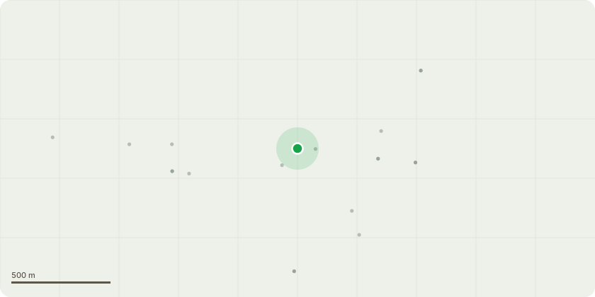
Approximate location
Proposal
The proposed work involves the maintenance and repair of existing watercourses, installation of water control structures and bunds within the existing watercourses to introduce variable water levels within the drainage works (marsh) to enable higher internal marsh water levels whilst maintaining low level routes for through conveyance from the railway culverts to the IDB pumping station. As part of the scheme some scrapes will be created from the edge of internal marsh drains to provide material for the bunds, create additional habitat and provide capacity to attenuate water flows to the existing drainage pump during periods of heavy rainfall.
Key dates
- Received 21 Aug 2026
- Validated 2 Sept 2026
- Started 2 Sept 2026
Planning history / related applications
No related planning applications have been identified in the current public OGL dataset.
Inside plotEdge
Go beyond the public record
This page is the public OGL record. plotEdge adds the private intelligence layer for this site - open it in the app to unlock:
- Ownership & title Registered owner and title from HM Land Registry.
- Viability & build potential Site scoring and development upside.
- Constraints Flood risk, green belt, conservation areas and designations.
- Approval signal Planning risk and approval-likelihood analysis.
- Comparable applications Decisions on similar nearby sites, side by side.
- Status alerts Get notified the moment this application changes.
Source: public planning application data from The Broads Authority, reused under the Open Government Licence v3.0. View the council source record. Council documents and drawings are not republished on plotEdge.