Stroud
Stroud/S.26/1816/TCA
Bonds Mill Bristol Road Stonehouse Gloucestershire GL10 3RF
- Reference
- Stroud/S.26/1816/TCA
- Authority
- Stroud
- Application type
- Trees in conservation area
- Address
- Bonds Mill Bristol Road Stonehouse Gloucestershire GL10 3RF
- Postcode
- GL10 3RF
- Status
- Awaiting decision
- Received
- 16 Oct 2026
- Started
- 16 Oct 2026
- Source council
- Stroud
- Council source record
- View public record
- Public data licence
- Open Government Licence v3.0
- Record updated
- 17 Oct 2026
- SEO index generated
- 20 Oct 2026
Location
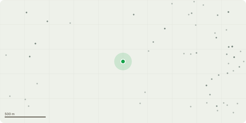
Approximate location
Proposal
Group 1 Willow Re-pollard x3 Willow trees back by 5 metres to previous pollard points.Group 3 Crown raise to approximately 3m above ground levelGroup 4 Crown raise to approximately 3m above ground levelT1-T3 Lime Crown raise and Ivy Crown raise to approximately 3m above path. Prune roadside back to centre of cycle laneT4 Horse Chestnut Remove dead, damaged top Sever Ivy at base T5 Horse Chestnut Sever Ivy at base T12 Crown raise Crown raise Lime tree to approximately 3m above ground levelT13 Willow Re-pollard Re-pollard Willow tree back by 6 metres to previous pollard pointsT14 Ash Deadwood Remove deadwood from Ash treeT15 Ash Deadwood and Ivy Remove deadwood from Ash tree Sever Ivy at base T16 Sycamore Tree Removal Section fell dead Sycamore tree to as close to ground level as possibleT20 Alder Crown raise Crown raise Alder tree to approximately 3m above ground levelT21 Pittosporum Crown raise Crown raise to approximately 3m above ground levelT22 Hazel Crown raise Crown raise to approximately 3m above ground levelT23 Sycamore Prune Clear Prune Sycamore tree to clear traffic light by approximately 2mT24 Alder Crown raise Crown raise to approximately 3m above ground level
Key dates
- Received 16 Oct 2026
- Started 16 Oct 2026
Planning history / related applications
No related planning applications have been identified in the current public OGL dataset.
Inside plotEdge
Go beyond the public record
This page is the public OGL record. plotEdge adds the private intelligence layer for this site - open it in the app to unlock:
- Ownership & title Registered owner and title from HM Land Registry.
- Viability & build potential Site scoring and development upside.
- Constraints Flood risk, green belt, conservation areas and designations.
- Approval signal Planning risk and approval-likelihood analysis.
- Comparable applications Decisions on similar nearby sites, side by side.
- Status alerts Get notified the moment this application changes.
Source: public planning application data from Stroud, reused under the Open Government Licence v3.0. View the council source record. Council documents and drawings are not republished on plotEdge.