Stratford-on-Avon
Stratford-on-Avon/HS2BIU/00068/26
HS2 Site East Of Ladbroke Ladbroke Hill Lane Ladbroke
- Reference
- Stratford-on-Avon/HS2BIU/00068/26
- Authority
- Stratford-on-Avon
- Address
- HS2 Site East Of Ladbroke Ladbroke Hill Lane Ladbroke
- Status
- Pending Consideration
- Received
- 2 Oct 2026
- Started
- 2 Oct 2026
- Source council
- Stratford-on-Avon
- Council source record
- View public record
- Public data licence
- Open Government Licence v3.0
- Record updated
- 13 Oct 2026
- SEO index generated
- 14 Oct 2026
Location
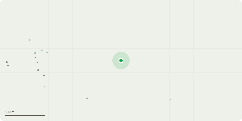
Approximate location
Proposal
HS2 requests for approval of Plans and Specifications under condition imposed by Schedule 17 to the High Speed Rail (London - West Midlands) Act 2017. Development authorised by the High Speed Rail (London-West Midlands) Act 2017 relating to: Windmill Lane Green overbridge; Ladbroke Grove Farm accommodation overbridge; Ladbroke Cutting (part of); Ladbroke Grove Embankment; Ladbroke Grove Cutting (part of); Earthworks associated with the realignment of Windmill Lane; Earthworks associated with the realignment of Radbourne Lane (part of); Earthworks associated with the realignment of Ladbroke Grove Farm access track; Earthworks associated with the new GSMR Compound and associated access track (Access Track 3); Earthworks associated with the approved access tracks and field accesses; Ladbroke Watercourse diversion; 6 no. maintenance access staircases ('line side steps'); 11 no. minor ditch crossings ('slab ditch crossings'); Ladbroke Culvert and 3 no. ancillary Culverts (above ground elements only); Drainage ditches; 2 no. ecology ponds; Vehicle restraint bund; Location of the vehicle restraint barriers; Location of the permanent (security and boundary) fencing.
Key dates
- Received 2 Oct 2026
- Started 2 Oct 2026
Planning history / related applications
No related planning applications have been identified in the current public OGL dataset.
Inside plotEdge
Go beyond the public record
This page is the public OGL record. plotEdge adds the private intelligence layer for this site - open it in the app to unlock:
- Ownership & title Registered owner and title from HM Land Registry.
- Viability & build potential Site scoring and development upside.
- Constraints Flood risk, green belt, conservation areas and designations.
- Approval signal Planning risk and approval-likelihood analysis.
- Comparable applications Decisions on similar nearby sites, side by side.
- Status alerts Get notified the moment this application changes.
Source: public planning application data from Stratford-on-Avon, reused under the Open Government Licence v3.0. View the council source record. Council documents and drawings are not republished on plotEdge.