Stratford-on-Avon
Stratford-on-Avon/26/02076/TPO
The Grange Welford Road Long Marston Stratford-upon-Avon CV37 8RH
- Reference
- Stratford-on-Avon/26/02076/TPO
- Authority
- Stratford-on-Avon
- Address
- The Grange Welford Road Long Marston Stratford-upon-Avon CV37 8RH
- Postcode
- CV37 8RH
- Status
- Pending Consideration
- Received
- 18 Aug 2026
- Started
- 18 Aug 2026
- Source council
- Stratford-on-Avon
- Council source record
- View public record
- Public data licence
- Open Government Licence v3.0
- Record updated
- 27 Aug 2026
- SEO index generated
- 28 Aug 2026
Location
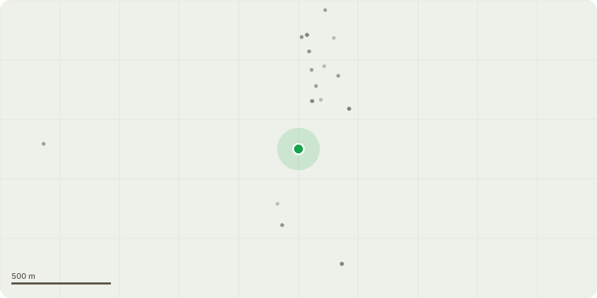
Approximate location
Proposal
(TPO T10) - Tag 1592 -horse chestnut -Fell tree retaining an approximately 3 metre standing habitat stem for biodiversity purposes. -(TPO T4) - Tag 1593 -scots pine -Fell dead tree and retain a standing habitat stem approximately 2 metres in height. -(TPO T3) -Tag 1594 - scots pine -Fell dead tree and retain a standing habitat stem approximately 2 metres in height. -(TPO T2) - untagged -lime -Remove tree to ground level. -(TPO T8) - Tag 1595 -horse chestnut- Re-pollard by removing regenerative growth back to previous pruning points. -Tag 1596 ?- purple plum-Fell tree to ground level (or alternatively leave a 1 metre habitat stump). -Tag 1598 ? - weeping willow- Reduce crown back to previous pruning points. -crack willow (Pond Area)-Repollard by reducing crown to approximately 4?5 metres in height and thereafter maintain on a regular pollarding cycle. -goat willow (Adjacent to Drive)-Remove lower branches to provide approximately 3 metres clearance over the driveway. -(Group G4) -Boundary Trees and Shrubs- Prune back encroaching branches to provide approximately 3 metres clearance over the driveway. -quince - (rear garden) - Prune to provide at least 1 metre clearance from the house and undertake light crown reduction as necessary to contain size and form. -Leyland cypress hedge - Trim and reshape hedge, reducing growth back as far as practicable whilst retaining sufficient green growth for recovery.
Key dates
- Received 18 Aug 2026
- Started 18 Aug 2026
Planning history / related applications
No related planning applications have been identified in the current public OGL dataset.
Inside plotEdge
Go beyond the public record
This page is the public OGL record. plotEdge adds the private intelligence layer for this site - open it in the app to unlock:
- Ownership & title Registered owner and title from HM Land Registry.
- Viability & build potential Site scoring and development upside.
- Constraints Flood risk, green belt, conservation areas and designations.
- Approval signal Planning risk and approval-likelihood analysis.
- Comparable applications Decisions on similar nearby sites, side by side.
- Status alerts Get notified the moment this application changes.
Source: public planning application data from Stratford-on-Avon, reused under the Open Government Licence v3.0. View the council source record. Council documents and drawings are not republished on plotEdge.