Stratford-on-Avon
Stratford-on-Avon/26/01955/TREE
St Nicholas Church Beaudesert Lane Henley-in-Arden
- Reference
- Stratford-on-Avon/26/01955/TREE
- Authority
- Stratford-on-Avon
- Address
- St Nicholas Church Beaudesert Lane Henley-in-Arden
- Status
- Pending Consideration
- Received
- 11 Aug 2026
- Started
- 11 Aug 2026
- Source council
- Stratford-on-Avon
- Council source record
- View public record
- Public data licence
- Open Government Licence v3.0
- Record updated
- 12 Aug 2026
- SEO index generated
- 20 Aug 2026
Location
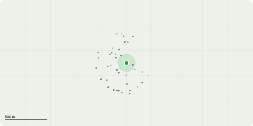
Approximate location
Proposal
T1 - sycamore - Tree is located next to the Lychgate, in St. Nicholas Churchyard, next to the boundary with Beaudesert Lane. Over half of the tree is already dead and decaying due to infection by sooty bark disease. The recommendation from 3 seperate arborists, is that the tree should be felled and the tree disposed off at council depot at Buckley Green, to minimise the spread of spores, as the waste cannot be burnt on site. T2 - sycamore - Located within St. Nicholas Churchyard, immediately on the boundary with Beaudesert Lane. A significant part of the canopy extends over Beaudesert Lane. During the high winds in early 2026, some branches broke off, falling onto the highway and into the churchyard. The guidance from 3 seperate arborists is that the dead wood within the tree canopy should be removed and the canopy reduced by one third to reduce excessive stress on the trees. There is no evidence to suggest any previous care management of the tree has taken place, and as a consequence there are some extremely long limbs which are placing a significant strain on the tree, affecting the long term health and safety of the tree. Inaction will also present a serious threat to public welfare. Reduce over-extending limbs on South side by 4 metres (from 22 metres to 18 metres North to South spread). No change in height (26 metres). Crown lift to 5 metres over road, remove deadwood and sever ivy at base.
Key dates
- Received 11 Aug 2026
- Started 11 Aug 2026
Planning history / related applications
No related planning applications have been identified in the current public OGL dataset.
Inside plotEdge
Go beyond the public record
This page is the public OGL record. plotEdge adds the private intelligence layer for this site - open it in the app to unlock:
- Ownership & title Registered owner and title from HM Land Registry.
- Viability & build potential Site scoring and development upside.
- Constraints Flood risk, green belt, conservation areas and designations.
- Approval signal Planning risk and approval-likelihood analysis.
- Comparable applications Decisions on similar nearby sites, side by side.
- Status alerts Get notified the moment this application changes.
Source: public planning application data from Stratford-on-Avon, reused under the Open Government Licence v3.0. View the council source record. Council documents and drawings are not republished on plotEdge.