Stratford-on-Avon
Stratford-on-Avon/26/00623/VARY
Meon Vale Campden Road Lower Quinton
- Reference
- Stratford-on-Avon/26/00623/VARY
- Authority
- Stratford-on-Avon
- Address
- Meon Vale Campden Road Lower Quinton
- Status
- Pending Consideration
- Received
- 31 Mar 2026
- Started
- 31 Mar 2026
- Source council
- Stratford-on-Avon
- Council source record
- View public record
- Public data licence
- Open Government Licence v3.0
- Record updated
- 6 Aug 2026
- SEO index generated
- 7 Aug 2026
Location
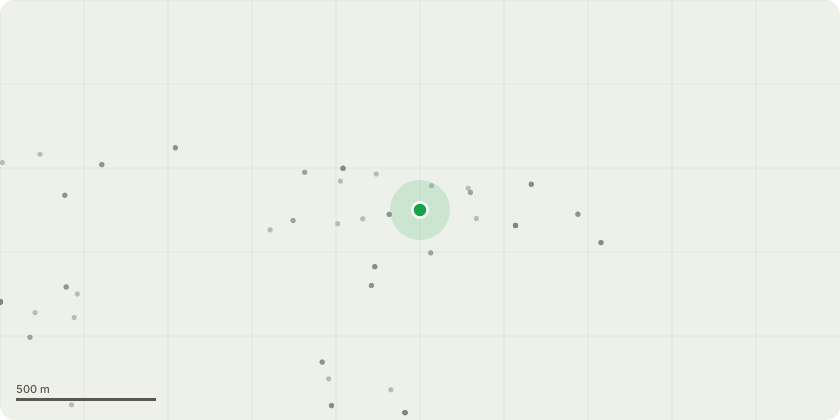
Approximate location
Proposal
Application for removal of Conditions 27 (offsite highway works at the junction of Shipston Road with Clifford Lane) and 28 (offsite highway works at the junction of Shipston Road with Trinity Way) of planning permission 14/01186/OUT dated 02/04/2015. Original description of development: Outline Planning Application (with means of access) for the development of up to 550 dwellings Use Class C3/C2 (Use Class C2 not to exceed 85 dwellings); a one-form entry Primary School (Use Class D1) with associated open space; a leisure village comprising up to 300 units of self-catering lodges and holiday homes (Use Classes C1/ C3), ancillary facilities building(s) to incorporate reception and administration facilities (Use Class B1a), entertainment areas (Use Classes D1 / D2) and retail uses (Use Classes A1 / A3/ A5), a touring caravan and camping site with up to 80 pitches and ancillary facilities building; the creation of landscaping, open space and ecological habitats; new accesses for vehicles, pedestrians and cycles; new internal highways; car and cycle parking; sustainable drainage measures, including storage ponds for surface water attenuation; provision of utilities infrastructure; earth works and all ancillary enabling works including demolition of buildings and structures and ground remediation.
Key dates
- Received 31 Mar 2026
- Started 31 Mar 2026
Planning history / related applications
No related planning applications have been identified in the current public OGL dataset.
Inside plotEdge
Go beyond the public record
This page is the public OGL record. plotEdge adds the private intelligence layer for this site - open it in the app to unlock:
- Ownership & title Registered owner and title from HM Land Registry.
- Viability & build potential Site scoring and development upside.
- Constraints Flood risk, green belt, conservation areas and designations.
- Approval signal Planning risk and approval-likelihood analysis.
- Comparable applications Decisions on similar nearby sites, side by side.
- Status alerts Get notified the moment this application changes.
Source: public planning application data from Stratford-on-Avon, reused under the Open Government Licence v3.0. View the council source record. Council documents and drawings are not republished on plotEdge.