Stockport
Stockport/DC/099927
7 Barrack Hill Bredbury Stockport SK6 3BA
- Reference
- Stockport/DC/099927
- Authority
- Stockport
- Address
- 7 Barrack Hill Bredbury Stockport SK6 3BA
- Postcode
- SK6 3BA
- Status
- Registered
- Received
- 19 Aug 2026
- Started
- 19 Aug 2026
- Source council
- Stockport
- Council source record
- View public record
- Public data licence
- Open Government Licence v3.0
- Record updated
- 21 Aug 2026
- SEO index generated
- 26 Aug 2026
Location
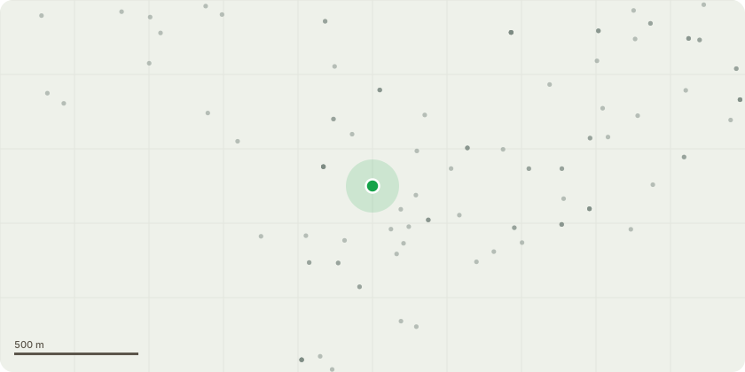
Approximate location
Proposal
Regarding: Tree 303E More than 18months ago we had a request approved to crown lift tree 303E which resides within our property.The tree is enormous, we have branches regularly falling onto the floor / cars below on our drive in winter and a number of telecoms cables now go through it. As a result phone and internet connections have been disrupted and service providers have had to revisit and reconnect in the past.The tree is that big it?s now a safety risk, its roots have broken all the surrounding stone wall and are ripping up the pavement. I notice the pavement is current sprayed up for repair by the council.I have two young kids, we love trees but this is a real concern for me. Both kids sleep in the front rooms off the house and all it would take is a severe storm and the tree could literally demolish the houses it?s that big.In addition this tree will begin to pose a risk to the public highway.My next neighdoor neighbour shares our concerns and also wants the tree removed.We request permission to cut down the tree and would propose to replace the existing tree with a new young tree to take its place.We have no intention or will to have the other protected tree on our property removed. Kind Regards,Patrick rodgers7 barrack hill
Key dates
- Received 19 Aug 2026
- Started 19 Aug 2026
Planning history / related applications
No related planning applications have been identified in the current public OGL dataset.
Inside plotEdge
Go beyond the public record
This page is the public OGL record. plotEdge adds the private intelligence layer for this site - open it in the app to unlock:
- Ownership & title Registered owner and title from HM Land Registry.
- Viability & build potential Site scoring and development upside.
- Constraints Flood risk, green belt, conservation areas and designations.
- Approval signal Planning risk and approval-likelihood analysis.
- Comparable applications Decisions on similar nearby sites, side by side.
- Status alerts Get notified the moment this application changes.
Source: public planning application data from Stockport, reused under the Open Government Licence v3.0. View the council source record. Council documents and drawings are not republished on plotEdge.