Stevenage
Stevenage/26/00627/ENQ10
48 Whitney Drive Stevenage Herts SG1 4BJ
- Reference
- Stevenage/26/00627/ENQ10
- Authority
- Stevenage
- Application type
- ENQ
- Address
- 48 Whitney Drive Stevenage Herts SG1 4BJ
- Postcode
- SG1 4BJ
- Status
- Awaiting decision
- Received
- 25 Aug 2026
- Started
- 25 Aug 2026
- Source council
- Stevenage
- Council source record
- View public record
- Public data licence
- Open Government Licence v3.0
- Record updated
- 27 Aug 2026
- SEO index generated
- 30 Aug 2026
Location
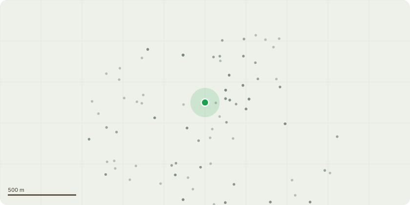
Approximate location
Proposal
We have recently purchased and moved into 48 Whitney Drive. The fence along one side of the property is currently positioned a considerable distance from the legal boundary. For reference, I have enclosed the Land Registry plan, which shows the boundary of our property outlined in red and the current position of the fence marked in black. I have also included an aerial view to provide further context. We would like to reposition the fence so that it aligns with the property's legal boundary and encompasses the side of our house (including the side ground floor window) within the fenced off area. This would help prevent the area from being used as a public right of way and provide privacy for our living room. Before proceeding, we would be grateful if you could confirm whether planning permission is required for these works. If a formal application is necessary, please advise what supporting information you would require, such as drawings, site plans, measurements, or any other relevant documentation, to enable us to submit an application. For further context, we want to install a standard 6ft fence to replace the current one of the same height
Key dates
- Received 25 Aug 2026
- Started 25 Aug 2026
Planning history / related applications
No related planning applications have been identified in the current public OGL dataset.
Inside plotEdge
Go beyond the public record
This page is the public OGL record. plotEdge adds the private intelligence layer for this site - open it in the app to unlock:
- Ownership & title Registered owner and title from HM Land Registry.
- Viability & build potential Site scoring and development upside.
- Constraints Flood risk, green belt, conservation areas and designations.
- Approval signal Planning risk and approval-likelihood analysis.
- Comparable applications Decisions on similar nearby sites, side by side.
- Status alerts Get notified the moment this application changes.
Source: public planning application data from Stevenage, reused under the Open Government Licence v3.0. View the council source record. Council documents and drawings are not republished on plotEdge.