Staffordshire Moorlands
Staffordshire Moorlands/SMD/2026/0441
Knypersley Hall , Harlech Drive , Biddulph , Staffordshire , ST8 7AN
- Reference
- Staffordshire Moorlands/SMD/2026/0441
- Authority
- Staffordshire Moorlands
- Address
- Knypersley Hall , Harlech Drive , Biddulph , Staffordshire , ST8 7AN
- Postcode
- ST8 7AN
- Status
- Invalid application
- Decision
- Application Invalid
- Received
- 23 Sept 2026
- Started
- 23 Sept 2026
- Source council
- Staffordshire Moorlands
- Council source record
- View public record
- Public data licence
- Open Government Licence v3.0
- Record updated
- 25 Sept 2026
- SEO index generated
- 29 Sept 2026
Location
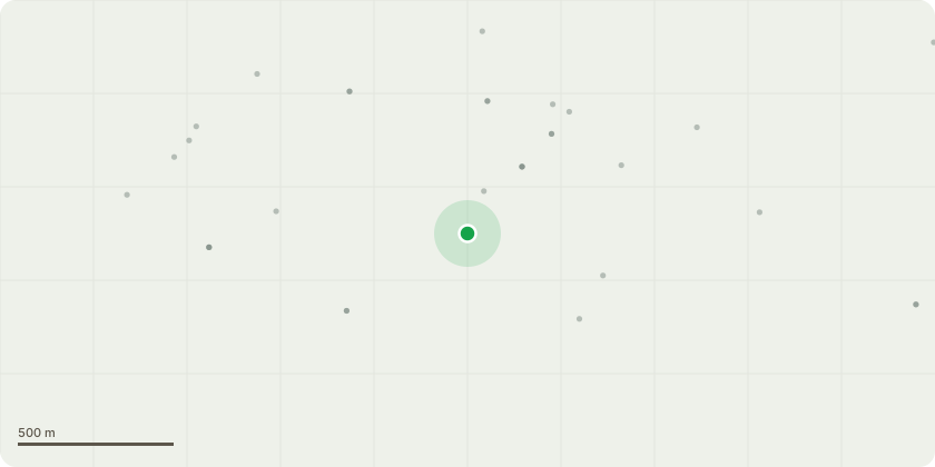
Approximate location
Proposal
Application for Listed Building Consent for - Part-retrospective Listed Building Consent for structural repairs to the suspended timber floors at Knypersley Hall following the discovery of extensive deterioration to the ground-floor timber structure. Works already undertaken comprise replacement of deteriorated ground-floor joists with 47 x 175 mm C24 timber joists following the existing structural arrangement, installation of mineral-wool insulation between the joists, and installation of approximately 70% of a 22 mm structural chipboard subfloor. At first-floor level, no structural joists have been removed or replaced. Works have been limited to removal of later chipboard and affected pine floorboarding, with the existing first-floor joists retained in situ. Proposed works comprise completion of the remaining ground-floor structural subfloor, installation of a 20 mm oak finished floor, appropriate reinstatement of the first-floor flooring, and like-for-like reinstatement of internal timber doors, panelling, skirting and architraves using traditional profiles. No change of use is proposed. No alterations are proposed to the principal staircase, and the existing windows are to be retained and repaired where necessary.
Key dates
- Received 23 Sept 2026
- Started 23 Sept 2026
Planning history / related applications
No related planning applications have been identified in the current public OGL dataset.
Inside plotEdge
Go beyond the public record
This page is the public OGL record. plotEdge adds the private intelligence layer for this site - open it in the app to unlock:
- Ownership & title Registered owner and title from HM Land Registry.
- Viability & build potential Site scoring and development upside.
- Constraints Flood risk, green belt, conservation areas and designations.
- Approval signal Planning risk and approval-likelihood analysis.
- Comparable applications Decisions on similar nearby sites, side by side.
- Status alerts Get notified the moment this application changes.
Source: public planning application data from Staffordshire Moorlands, reused under the Open Government Licence v3.0. View the council source record. Council documents and drawings are not republished on plotEdge.