Southwark
Southwark/26/AP/2964
9 And 11 Gowlett Road London Southwark SE15 4HX
- Reference
- Southwark/26/AP/2964
- Authority
- Southwark
- Address
- 9 And 11 Gowlett Road London Southwark SE15 4HX
- Postcode
- SE15 4HX
- Status
- Under consideration/assessment
- Received
- 16 Oct 2026
- Started
- 16 Oct 2026
- Source council
- Southwark
- Council source record
- View public record
- Public data licence
- Open Government Licence v3.0
- Record updated
- 17 Oct 2026
- SEO index generated
- 18 Oct 2026
Location
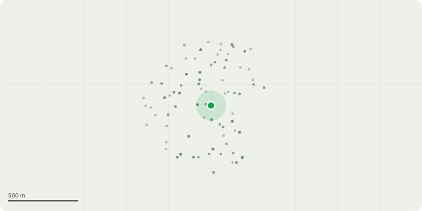
Approximate location
Proposal
Variation of Condition 1 (Approved Plans) pursuant to planning permission 25/AP/2550 dated 27/02/2026 for 'Demolition of existing buildings and construction of nine (4 x bedroom) C3 residential dwellings with associated access, landscaping, boundary treatment, cycle parking and refuse storage'.The amendments include the following: - Fenestration and door alterations, including revised windows and lintel details to the front elevation of No. 9, rectangular glazed toplights above the entrance doors to all nine dwellings, removal of recessed brick areas and the addition of second-floor French doors to the rear elevation of No. 9, and enlarged first-floor windows to the rear elevation of No. 11. - Relocation of the air source heat pumps serving Houses 1 and 8. - Relocation of the cycle and bin storage serving House 1. - Mirroring of the internal arrangement of Houses 5 and 6. - Provision of home-office outbuildings within the gardens of Houses 1 and 8. - Provision of a basement beneath the terrace of dwellings for storage and ancillary floorspace. - Installation of a security gate and intercom at the site access.- An expansion of the hardstanding area and associated revisions to the landscape layout (previously approved under NMA 26/AP/2028).
Key dates
- Received 16 Oct 2026
- Started 16 Oct 2026
Planning history / related applications
No related planning applications have been identified in the current public OGL dataset.
Inside plotEdge
Go beyond the public record
This page is the public OGL record. plotEdge adds the private intelligence layer for this site - open it in the app to unlock:
- Ownership & title Registered owner and title from HM Land Registry.
- Viability & build potential Site scoring and development upside.
- Constraints Flood risk, green belt, conservation areas and designations.
- Approval signal Planning risk and approval-likelihood analysis.
- Comparable applications Decisions on similar nearby sites, side by side.
- Status alerts Get notified the moment this application changes.
Source: public planning application data from Southwark, reused under the Open Government Licence v3.0. View the council source record. Council documents and drawings are not republished on plotEdge.