Southwark
Southwark/26/AP/0969
83 New Kent Road London Southwark SE1 6RD
- Reference
- Southwark/26/AP/0969
- Authority
- Southwark
- Address
- 83 New Kent Road London Southwark SE1 6RD
- Postcode
- SE1 6RD
- Status
- Under consideration/assessment
- Received
- 7 Apr 2026
- Started
- 7 Apr 2026
- Source council
- Southwark
- Council source record
- View public record
- Public data licence
- Open Government Licence v3.0
- Record updated
- 11 Aug 2026
- SEO index generated
- 12 Aug 2026
Location
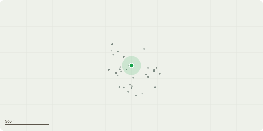
Approximate location
Proposal
Non-material amendment to planning permission ref. 25/AP/1718 dated 03/09/2025 for 'External alterations including the addition of lift overruns at roof level; the erection of plant equipment and enclosures at roof level; the construction of a gable end wall; alterations to fenestration; and associated works'. The amendments include the following: Updates to gates, doors and windows, including removal of some existing elements, replacement with new units in revised positions and revisions to approved designs. Standardisation of window and door frames to ensure a consistent appearance across the site. Changes to openings, including blocking up a doorway in matching brick and replacing a window with a new glazed door and sidelight. Fire safety improvements, including changing some windows to side-opening (casement) and adding a vision panel to a door. Changes to wall finishes, including replacing and extending render. Localised wall repairs and rebuilds, including rebuilding a wall in London buff brick and repairing damaged planter walls with matching materials. Removal of previously approved plant, including omission of the generator enclosure and flue. Like-for-like roof works, including rebuilding roofs, replacing a deteriorated metal roof, reconstructing mansards and dormers, and renewing roof finishes.
Key dates
- Received 7 Apr 2026
- Started 7 Apr 2026
Planning history / related applications
No related planning applications have been identified in the current public OGL dataset.
Inside plotEdge
Go beyond the public record
This page is the public OGL record. plotEdge adds the private intelligence layer for this site - open it in the app to unlock:
- Ownership & title Registered owner and title from HM Land Registry.
- Viability & build potential Site scoring and development upside.
- Constraints Flood risk, green belt, conservation areas and designations.
- Approval signal Planning risk and approval-likelihood analysis.
- Comparable applications Decisions on similar nearby sites, side by side.
- Status alerts Get notified the moment this application changes.
Source: public planning application data from Southwark, reused under the Open Government Licence v3.0. View the council source record. Council documents and drawings are not republished on plotEdge.