Southwark
Southwark/26/AP/0256
Elephant And Castle Shopping Centre, 26, 28, 30 And 32 New Kent Road And Arches 6 And 7 Elephant Road And London College Of Communications Site, Elephant And Castle London SE1
- Reference
- Southwark/26/AP/0256
- Authority
- Southwark
- Address
- Elephant And Castle Shopping Centre, 26, 28, 30 And 32 New Kent Road And Arches 6 And 7 Elephant Road And London College Of Communications Site, Elephant And Castle London SE1
- Status
- Decided
- Decision
- Agreed - for App Types VLA and VNMC
- Received
- 28 Jan 2026
- Validated
- 2 Feb 2026
- Started
- 2 Feb 2026
- Decided
- 13 May 2026
- Source council
- Southwark
- Council source record
- View public record
- Public data licence
- Open Government Licence v3.0
- Record updated
- 6 Aug 2026
- SEO index generated
- 7 Aug 2026
Location
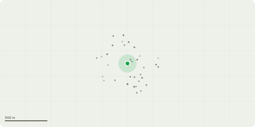
Approximate location
Proposal
Deed of variation to amend Schedule 2, part 8, paragraph 2.3 (Delivery and Servicing Management Plan) of the section 106 agreement attached to planning permission ref. 21/AP/1104 dated 06/07/2021 for 'Minor material amendments 20/AP/3675 (for Phased, mixed-use redevelopment comprising the demolition of all existing buildings and structures and redevelopment to comprise buildings ranging in height from single storey to 35 storeys above multi-level and single basements, to provide a range of uses including residential (use class C3), retail (use Class A1-A4), office (Use Class B1), Education (use class D1), assembly and leisure (use class D2) and a new station entrance and station box for use as a London underground operational railway station, means of access, public realm and landscaping works, parking and cycle storage provision, plant and servicing areas, and a range of other associated and ancillary works and structures.
Key dates
- Received 28 Jan 2026
- Validated 2 Feb 2026
- Started 2 Feb 2026
- Decided 13 May 2026
Planning history / related applications
No related planning applications have been identified in the current public OGL dataset.
Inside plotEdge
Go beyond the public record
This page is the public OGL record. plotEdge adds the private intelligence layer for this site - open it in the app to unlock:
- Ownership & title Registered owner and title from HM Land Registry.
- Viability & build potential Site scoring and development upside.
- Constraints Flood risk, green belt, conservation areas and designations.
- Approval signal Planning risk and approval-likelihood analysis.
- Comparable applications Decisions on similar nearby sites, side by side.
- Status alerts Get notified the moment this application changes.
Source: public planning application data from Southwark, reused under the Open Government Licence v3.0. View the council source record. Council documents and drawings are not republished on plotEdge.