Southwark
Southwark/26/AP/0184
Canada Water Masterplan - Land Bounded By Lower Road (West), Redriff Road (South), Quebec Way (East) Surrey Quays Road And Canada Water Dock (North) And Site At Roberts Close London SE16 SE16
- Reference
- Southwark/26/AP/0184
- Authority
- Southwark
- Address
- Canada Water Masterplan - Land Bounded By Lower Road (West), Redriff Road (South), Quebec Way (East) Surrey Quays Road And Canada Water Dock (North) And Site At Roberts Close London SE16 SE16
- Status
- Decided
- Decision
- Agreed - for App Types VLA and VNMC
- Received
- 22 Jan 2026
- Validated
- 22 Jan 2026
- Started
- 22 Jan 2026
- Decided
- 20 Mar 2026
- Source council
- Southwark
- Council source record
- View public record
- Public data licence
- Open Government Licence v3.0
- Record updated
- 6 Aug 2026
- SEO index generated
- 7 Aug 2026
Location
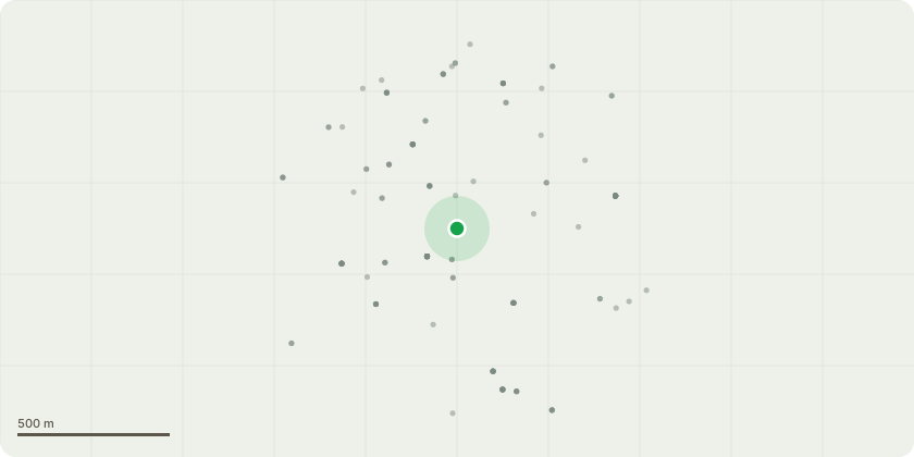
Approximate location
Proposal
Details submitted to satisfy Schedule 2, Part 1, Para 1.2 (Interim Use Strategy) of the section 106 agreement associated with planning permission ref. 18/AP/1604 for 'Hybrid application seeking detailed planning permission for Phase 1 and outline planning permission for future phases, comprising:Outline planning permission (all matters reserved) for demolition of all existing structures and redevelopment to include a number of tall buildings comprising the following mix of uses: retail (Use Classes A1-A5), workspace (B1), hotel (C1), residential (C3), assisted living (C2), student accommodation, leisure (including a cinema)(D2), community facilities (including health and education uses)(D1), public toilets, nightclub, flexible events space, an energy centre, an interim and permanent petrol filling station, a primary electricity substation, a secondary entrance for Surrey Quays Rail Station, a Park Pavilion, landscaping including open spaces and public realm, works to Canada Water Dock, car parking, means of access, associated infrastructure and highways works, demolition or retention with alterations to the Press Hall and/or Spine Building of the Printworks; andDetailed planning permission for the following Development Plots in Phase 1:Plot A1 (south of Surrey Quays Road and west of Deal Porters Way) to provide uses comprising retail (A1-A5), workspace (B1) and 186 residential units (C3) in a 6 and 34 storey building, plus basement; Plot A2 (east of Lower Road and west of Canada Water Dock) to provide a leisure centre (D2), retail (A1-A5), and workspace (B1) in a 4, 5 and 6 storey building, plus basement; Plot K1 (east of Roberts Close) to provide 79 residential units (C3) in a 5 and 6 storey building;Interim Petrol Filling Station (north of Redriff Road and east of Lower Road) to provide a petrol filling station with kiosk, canopy and forecourt area. Each Development Plot with associated car parking, cycle parking, landscaping, public realm, plant.'
Key dates
- Received 22 Jan 2026
- Validated 22 Jan 2026
- Started 22 Jan 2026
- Decided 20 Mar 2026
Planning history / related applications
No related planning applications have been identified in the current public OGL dataset.
Inside plotEdge
Go beyond the public record
This page is the public OGL record. plotEdge adds the private intelligence layer for this site - open it in the app to unlock:
- Ownership & title Registered owner and title from HM Land Registry.
- Viability & build potential Site scoring and development upside.
- Constraints Flood risk, green belt, conservation areas and designations.
- Approval signal Planning risk and approval-likelihood analysis.
- Comparable applications Decisions on similar nearby sites, side by side.
- Status alerts Get notified the moment this application changes.
Source: public planning application data from Southwark, reused under the Open Government Licence v3.0. View the council source record. Council documents and drawings are not republished on plotEdge.