Southwark
Southwark/25/AP/3598
Malt Street Regeneration Site Land Bounded By Bianca Road Latona Road Haymerle Road Frensham Street And Malt Street London SE1
- Reference
- Southwark/25/AP/3598
- Authority
- Southwark
- Address
- Malt Street Regeneration Site Land Bounded By Bianca Road Latona Road Haymerle Road Frensham Street And Malt Street London SE1
- Status
- Under consideration/assessment
- Received
- 11 Dec 2025
- Started
- 11 Dec 2025
- Source council
- Southwark
- Council source record
- View public record
- Public data licence
- Open Government Licence v3.0
- Record updated
- 6 Aug 2026
- SEO index generated
- 7 Aug 2026
Location
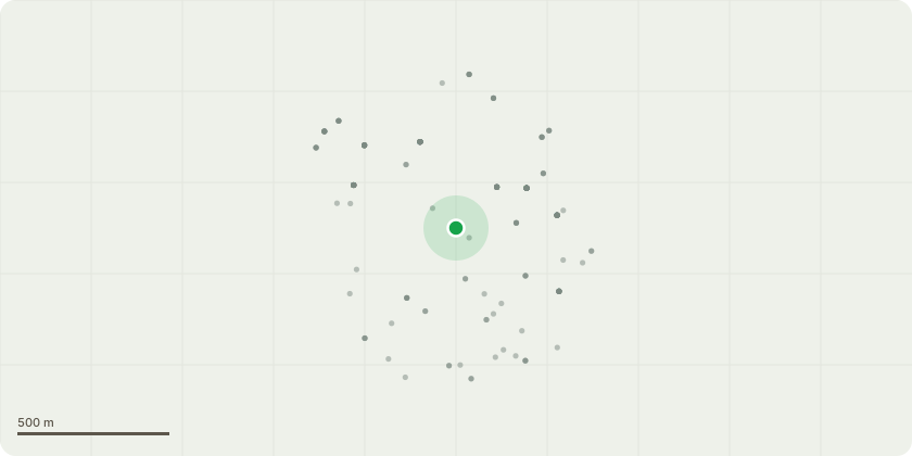
Approximate location
Proposal
Discharge of Condition 37-Outline (phase 2 & 3) - detail drawings as required by full planning 17/AP/2773 dated 30/10/2020 for Hybrid application comprising a full planning application for Phase 1 (the 'Detailed Component') and outline planning permission (the 'OutlineComponent') for Phases 2 & 3:Detailed Component (Phase 1): Full planning permission for the demolition of existing buildings and structures and redevelopment of the central area for the erection of a total of 4 buildings, two at 7 storeys (Buildings B9& part B12), one at 15 storeys (Building B10), and one at 44 storeys (Building B4) (max height 147.12m AOD) to provide 420 homes, 1,197 sqm GEA of Class B1(c) floorspace and 785 sqm GEA of non-residential floor space within classes A1-A4 (retail), Class B1 (business) and Class D1 (public services) and D2 (entertainment and leisure) use, an energy centre (750 sqm) and new public open space and public realm with on street and basement car parking spaces and cycle spaces. Outline Component (Phase 2 & 3): Outline planning permission (scale, layout, landscaping, access and appearance reserved) for the demolition of existing buildings and structures and the erection of eight buildings (B1, B2, B3, B5, B6, B7, B11 and part B12) ranging in height from 5 to 35 storeys (max height 132.9m AOD) to provide up to 88,052sqm floorspace GEA, comprising up to 880 residential units, up to 3,316 sqm GEA of Class B1(c) floorspace and up to 1,702sqm GEA of non-residential floor space within Classes A1-A4 (retail), Class B1 (business), Class D1 (public services) and D2 (entertainment and leisure) use and car parking spaces at ground level and cycle spaces, with associated new open space, public realm, car parking and associated works.Totals: Up to 1,300 homes and up to 7,000sqm commercial floorspace.
Key dates
- Received 11 Dec 2025
- Started 11 Dec 2025
Planning history / related applications
No related planning applications have been identified in the current public OGL dataset.
Inside plotEdge
Go beyond the public record
This page is the public OGL record. plotEdge adds the private intelligence layer for this site - open it in the app to unlock:
- Ownership & title Registered owner and title from HM Land Registry.
- Viability & build potential Site scoring and development upside.
- Constraints Flood risk, green belt, conservation areas and designations.
- Approval signal Planning risk and approval-likelihood analysis.
- Comparable applications Decisions on similar nearby sites, side by side.
- Status alerts Get notified the moment this application changes.
Source: public planning application data from Southwark, reused under the Open Government Licence v3.0. View the council source record. Council documents and drawings are not republished on plotEdge.