Southwark
Southwark/25/AP/2086
Malt Street Regeneration Site Land Bounded By Bianca Road Latona Road Haymerle Road Frensham Street And Malt Street London SE1
- Reference
- Southwark/25/AP/2086
- Authority
- Southwark
- Address
- Malt Street Regeneration Site Land Bounded By Bianca Road Latona Road Haymerle Road Frensham Street And Malt Street London SE1
- Status
- Decided
- Decision
- Agreed - for App Types VLA and VNMC
- Received
- 22 Jul 2025
- Validated
- 23 Jul 2025
- Started
- 23 Jul 2025
- Decided
- 18 Dec 2025
- Source council
- Southwark
- Council source record
- View public record
- Public data licence
- Open Government Licence v3.0
- Record updated
- 6 Aug 2026
- SEO index generated
- 7 Aug 2026
Location
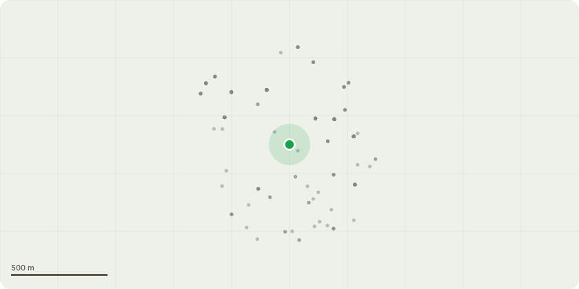
Approximate location
Proposal
Non material amendment of planning permission 20/AP/3242, which gave consent for:"Application for Reserved Matters (scale, layout, landscaping, access and appearance) relating to Blocks B1, B2, B3 and B11 and all associated landscaping, car parking and ancillary works on land bounded by Glengall Road, Ossory Road, Bianca Road, Haymerle Road and Latona Road, London, SE1 and pursuant to Hybrid permission 17/AP/2773. The proposals comprise the construction of 4 buildings ranging from 5 to 24 storeys in height (26.7m to 83.45m AOD), for 269 residential units, 4,128 sqm GEA of non residential floorspace for retail, workspace and leisure (Use Classes A1-A4, B1c, D1 and D2), landscaping, new public realm, basement comprising parking and plant areas)."The amendments sought by 25/AP/2086 are: - Changes to the energy strategy; - Reintroduction of a plant screen and air source heat pumps at roof level; - The reorganisation of the consented rooms at ground floor level to provide space for the proposed energy centre; and - Facade and fenestration changes to the north facades at ground level and to a number of the east elevation shops fronts.
Key dates
- Received 22 Jul 2025
- Validated 23 Jul 2025
- Started 23 Jul 2025
- Decided 18 Dec 2025
Planning history / related applications
No related planning applications have been identified in the current public OGL dataset.
Inside plotEdge
Go beyond the public record
This page is the public OGL record. plotEdge adds the private intelligence layer for this site - open it in the app to unlock:
- Ownership & title Registered owner and title from HM Land Registry.
- Viability & build potential Site scoring and development upside.
- Constraints Flood risk, green belt, conservation areas and designations.
- Approval signal Planning risk and approval-likelihood analysis.
- Comparable applications Decisions on similar nearby sites, side by side.
- Status alerts Get notified the moment this application changes.
Source: public planning application data from Southwark, reused under the Open Government Licence v3.0. View the council source record. Council documents and drawings are not republished on plotEdge.