Southwark
Southwark/25/AP/0300
Land At 18 Blackfriars Road And 1-7 Stamford Street Together With Land At 18 Blackfriars Road Bounded By Stamford Street Paris Garden And Christ Church London, SE1
- Reference
- Southwark/25/AP/0300
- Authority
- Southwark
- Address
- Land At 18 Blackfriars Road And 1-7 Stamford Street Together With Land At 18 Blackfriars Road Bounded By Stamford Street Paris Garden And Christ Church London, SE1
- Status
- Awaiting decision
- Received
- 4 Feb 2025
- Started
- 4 Feb 2025
- Source council
- Southwark
- Council source record
- View public record
- Public data licence
- Open Government Licence v3.0
- Record updated
- 6 Aug 2026
- SEO index generated
- 7 Aug 2026
Location
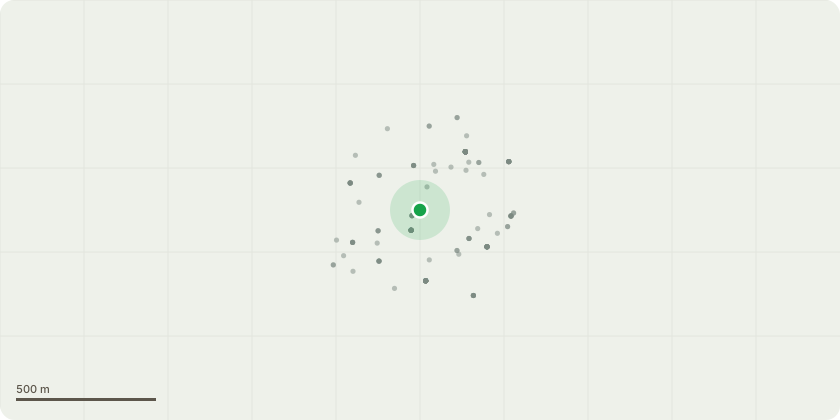
Approximate location
Proposal
Non-material amendment to planning permission ref: 23/AP/1854 dated 14/11/2024 for 'Part demolition to the rear of 1 and 3 - 7 Stamford Street together with: the erection of a ground plus three-storey podium comprising retail, leisure, office, education, gallery, library and assembly room uses; two levels of basement for servicing, plant, car and cycle parking plus pit access within a partial basement at level three; two residential buildings above podium; an office building above podium; improvements to the existing public house; landscaping at ground and podium levels; replacement boundary at the southern edge of the Site; plant and all other associated, enabling and ancillary works'. The amendments include the following:-façade and materiality changes including revised bustle forms and cladding detail-adjustments to the market housing tenure mix (no change to affordable housing provision)-relocation of affordable workspace from 1 and 3-7 Stamford Street (public house) to the podium-minor increase in height of Stamford building (~5m) and minor decrease in height of Paris building (~4.7m)-increase in cycle parking provision and improvements to carbon efficiency -amendment to description of development of planning application (removing reference to number of storeys)
Key dates
- Received 4 Feb 2025
- Started 4 Feb 2025
Planning history / related applications
No related planning applications have been identified in the current public OGL dataset.
Inside plotEdge
Go beyond the public record
This page is the public OGL record. plotEdge adds the private intelligence layer for this site - open it in the app to unlock:
- Ownership & title Registered owner and title from HM Land Registry.
- Viability & build potential Site scoring and development upside.
- Constraints Flood risk, green belt, conservation areas and designations.
- Approval signal Planning risk and approval-likelihood analysis.
- Comparable applications Decisions on similar nearby sites, side by side.
- Status alerts Get notified the moment this application changes.
Source: public planning application data from Southwark, reused under the Open Government Licence v3.0. View the council source record. Council documents and drawings are not republished on plotEdge.