Southwark
Southwark/25/AP/0250
Plot H11B Within Land Bound By Plot H11A And Elephant Park To The North Rodney Place And Rodney Road To The East Heygate Street To The South And Plot H7 To The West
- Reference
- Southwark/25/AP/0250
- Authority
- Southwark
- Address
- Plot H11B Within Land Bound By Plot H11A And Elephant Park To The North Rodney Place And Rodney Road To The East Heygate Street To The South And Plot H7 To The West
- Status
- Decided
- Decision
- Agreed - for App Types VLA and VNMC
- Received
- 30 Jan 2025
- Validated
- 3 Mar 2025
- Started
- 3 Mar 2025
- Decided
- 16 Jul 2025
- Source council
- Southwark
- Council source record
- View public record
- Public data licence
- Open Government Licence v3.0
- Record updated
- 6 Aug 2026
- SEO index generated
- 7 Aug 2026
Location
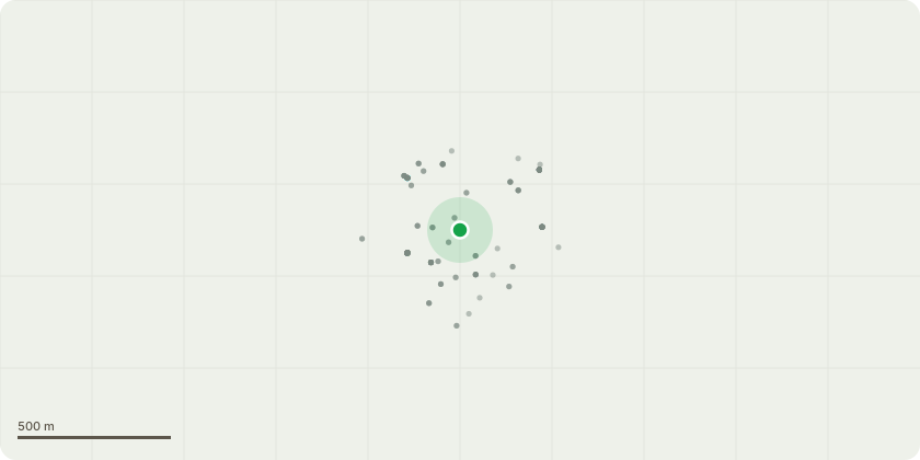
Approximate location
Proposal
Non material amendment of reserved matters approval ref. 18/AP/1863 (Application for the approval of reserved matters (access, scale, appearance, layout and landscaping) for Plot H11B within Elephant Park (previously referred to as the Heygate Masterplan), submitted pursuant to the Outline Planning Permission ref: 12/AP/1092. The proposals comprise the construction of two buildings of between 11 and 25 storeys in height (maximum building height 84.2m AOD) comprising 259 residential units, 285 sqm (GEA) flexible retail, office, community and leisure uses (Classes A1-A5/B1/D1/D2), cycle storage, servicing, plant areas, landscaping, new public realm, and other associated works.) Amendments sought are for the installation of a permanently upright railing on the rooftop level of H11B, addition of obscure glazing to block B windows, change to the link roof profile and changes to the rooftop AOV smoke vents.
Key dates
- Received 30 Jan 2025
- Validated 3 Mar 2025
- Started 3 Mar 2025
- Decided 16 Jul 2025
Planning history / related applications
No related planning applications have been identified in the current public OGL dataset.
Inside plotEdge
Go beyond the public record
This page is the public OGL record. plotEdge adds the private intelligence layer for this site - open it in the app to unlock:
- Ownership & title Registered owner and title from HM Land Registry.
- Viability & build potential Site scoring and development upside.
- Constraints Flood risk, green belt, conservation areas and designations.
- Approval signal Planning risk and approval-likelihood analysis.
- Comparable applications Decisions on similar nearby sites, side by side.
- Status alerts Get notified the moment this application changes.
Source: public planning application data from Southwark, reused under the Open Government Licence v3.0. View the council source record. Council documents and drawings are not republished on plotEdge.