Southwark
Southwark/25/AP/0242
Canada Water Masterplan - Land Bounded By Lower Road (West), Redriff Road (South), Quebec Way (East) Surrey Quays Road And Canada Water Dock (North) And Site At Roberts Close London SE16
- Reference
- Southwark/25/AP/0242
- Authority
- Southwark
- Address
- Canada Water Masterplan - Land Bounded By Lower Road (West), Redriff Road (South), Quebec Way (East) Surrey Quays Road And Canada Water Dock (North) And Site At Roberts Close London SE16
- Status
- Awaiting decision
- Received
- 29 Jan 2025
- Started
- 29 Jan 2025
- Source council
- Southwark
- Council source record
- View public record
- Public data licence
- Open Government Licence v3.0
- Record updated
- 6 Aug 2026
- SEO index generated
- 7 Aug 2026
Location
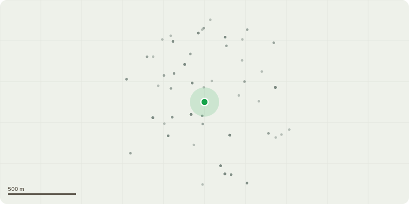
Approximate location
Proposal
Application submitted under Section 73 of the TCPA 1990 to approved Hybrid Planning Permission 18/AP/1604 for the comprehensive redevelopment of the Canada Water Masterplan. The S73 Application seeks to amend the Outline elements of 18/AP/1604 only through a variation of Condition 1 (Approved Plans); Condition 3 (Control Documents); Condition 4 (Floorspace cap); and Condition 5 (Development Zones and permitted uses) to enable the following amendments:Changes to the massing across the Masterplan which includes:- Development Zone B: tower increased from 117m AOD to 136m AOD - Development Zone C: tower increased from 101m AOD to 161m AOD- Development Zone D: tower increased from 138m AOD to 175m AOD- Development Zone F: towers increased from 116m AOD to 138m AOD and 125m AOD to 166m AOD and increase in massing of 18m AOD for a small portion of the north-eastern corner from 45 AOD to 63 AOD- Development Zone G: tower increased from 105m AOD to 131m AOD- Development Zone H: Increase in massing of 18m/28m AOD for the western part of Zone H (directly north of the Park) to 63m AOD- Development Zone J: Increase in the depth of the +48m AOD height zone along the park further into the Zone- Increase in the footprint of the tall buildings- Amendments to the housing offer and changes to housing unit mix- Increase to the residential floorspace cap (Use Class C3) and consequential increase to the total development floorspace cap- Increase to the hotel (Use Class C1) land use cap- Introduction of Co-Living (Sui Generis) as a residential use- Increase in the extent of basement footprint for Zone D and Zone H- Servicing Strategy amended to allow for direct vehicle access to Development Zone D from Deal Porters Way- Amendments to the Masterplan Design Guidelines
Key dates
- Received 29 Jan 2025
- Started 29 Jan 2025
Planning history / related applications
No related planning applications have been identified in the current public OGL dataset.
Inside plotEdge
Go beyond the public record
This page is the public OGL record. plotEdge adds the private intelligence layer for this site - open it in the app to unlock:
- Ownership & title Registered owner and title from HM Land Registry.
- Viability & build potential Site scoring and development upside.
- Constraints Flood risk, green belt, conservation areas and designations.
- Approval signal Planning risk and approval-likelihood analysis.
- Comparable applications Decisions on similar nearby sites, side by side.
- Status alerts Get notified the moment this application changes.
Source: public planning application data from Southwark, reused under the Open Government Licence v3.0. View the council source record. Council documents and drawings are not republished on plotEdge.