Southwark
Southwark/24/AP/3801
Chambers Wharf Chambers Street London SE16 4XQ
- Reference
- Southwark/24/AP/3801
- Authority
- Southwark
- Address
- Chambers Wharf Chambers Street London SE16 4XQ
- Postcode
- SE16 4XQ
- Status
- Awaiting decision
- Received
- 24 Dec 2024
- Started
- 24 Dec 2024
- Source council
- Southwark
- Council source record
- View public record
- Public data licence
- Open Government Licence v3.0
- Record updated
- 11 Aug 2026
- SEO index generated
- 12 Aug 2026
Location
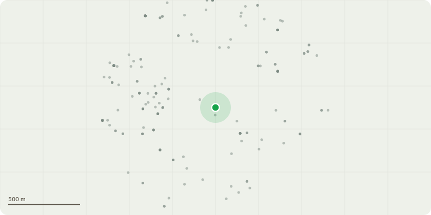
Approximate location
Proposal
Material amendment under section 73 of the Town and Country Planning Act 1990 to reference number 07/AP/1262, as amended by 13/AP/4266, to secure amendments Blocks A, B, C, and D and associated landscape only including ammendments to the internal configuration, external design and overall massing, mix and unit numbers, and variation of the conditions of consent including to allow for:Changes to façade design and composition of all buildings to meet updated fire regulations and energy and sustainability standards as well as addressing overheating;Adjustments to building footprint, form, and massing;Internal reconfiguration of units to address the current Nationally Described Space Standards, resulting in a change in mix and a reduction in units from 589 to 566;Re-organisation of building cores, additional staircases and inclusion of additional fire safety features including sprinklers;Change from winter gardens to a mix of winter gardens and balconies;Addition of plant, lift overruns, smoke vents and risers on the roof of buildings, contributing to overall increases in building massing and heights ranging between 3.9 and 4.9 metres;Addition of new residential amenity facilities in Building A, C and D, including swimming pool a gym uses;Amendments to condition 34 to reflect the reduction in commercial floorspace by 113m2;Inclusion of revised energy strategy, facilitated by inclusion of rooftop plant;Amendment to basement layout to accommodate Thames Tideway Tunnel infrastructure;Rise in finished floor level of building C for flood protection.
Key dates
- Received 24 Dec 2024
- Started 24 Dec 2024
Planning history / related applications
No related planning applications have been identified in the current public OGL dataset.
Inside plotEdge
Go beyond the public record
This page is the public OGL record. plotEdge adds the private intelligence layer for this site - open it in the app to unlock:
- Ownership & title Registered owner and title from HM Land Registry.
- Viability & build potential Site scoring and development upside.
- Constraints Flood risk, green belt, conservation areas and designations.
- Approval signal Planning risk and approval-likelihood analysis.
- Comparable applications Decisions on similar nearby sites, side by side.
- Status alerts Get notified the moment this application changes.
Source: public planning application data from Southwark, reused under the Open Government Licence v3.0. View the council source record. Council documents and drawings are not republished on plotEdge.