Southwark
Southwark/24/AP/3190
16A Wyndham Road And 166,168,170 172,174, 176 And 176A Camberwell Road London SE5
- Reference
- Southwark/24/AP/3190
- Authority
- Southwark
- Address
- 16A Wyndham Road And 166,168,170 172,174, 176 And 176A Camberwell Road London SE5
- Status
- Granted
- Decision
- AOD - Granted
- Received
- 25 Oct 2024
- Validated
- 1 Nov 2024
- Started
- 1 Nov 2024
- Decided
- 13 Dec 2024
- Source council
- Southwark
- Council source record
- View public record
- Public data licence
- Open Government Licence v3.0
- Record updated
- 6 Aug 2026
- SEO index generated
- 7 Aug 2026
Location
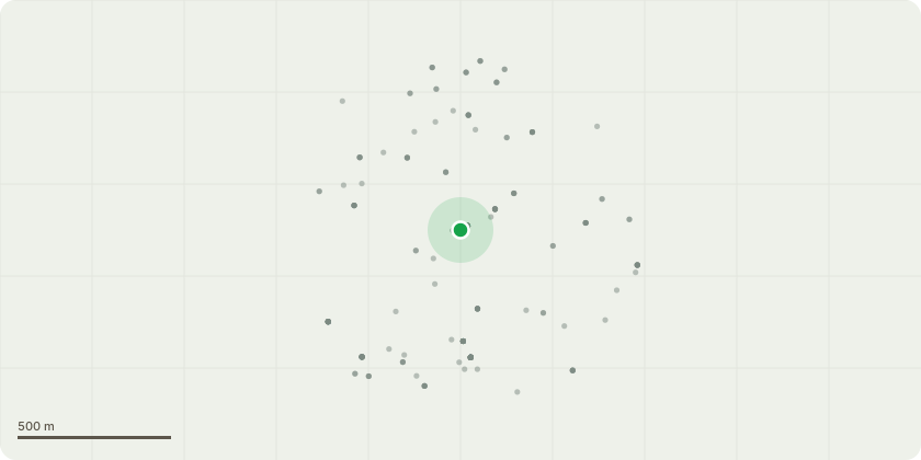
Approximate location
Proposal
Details of Condition 10 (Transmission of noise) as required by planning permission ref. 17/AP/0528 dated 29/01/2018 for ' Variations to Condition 1 (Approved Plans) of planning permission 14/AP/0175 for: Redevelopment of the site including demolition of existing buildings and erection of a residential-led mixed use scheme comprising five new buildings (Block 07: 9 storey, Block 08: 6 storey, Block 9: 4 storey, Block 10: 4 storey, Block 11: 5 storey) containing 82 flats, 222sqm new retail floorspace (class A1 use) and 616sqm of artists studios and associated gallery space (Class B1/D1 use), provision of 7 disabled parking spaces, cycle storage, refuse storage and associated landscaping.Variations to include:*Minor increases to the height and massing of individual blocks;*Amended internal layouts for residential units and associated ancillary areas with corresponding changes to the fenestration, windows and balconies;*Amended unit mix and increase in total number of units from 82 to 84;*Provision of 223sqm retail floorspace (Class A1) and 470sqm of flexible business/community space (Class B1/Class D1);*Expansion of basement area;*Amendments to the extent of communal amenity space at roof and ground levels'.
Key dates
- Received 25 Oct 2024
- Validated 1 Nov 2024
- Started 1 Nov 2024
- Decided 13 Dec 2024
Planning history / related applications
No related planning applications have been identified in the current public OGL dataset.
Inside plotEdge
Go beyond the public record
This page is the public OGL record. plotEdge adds the private intelligence layer for this site - open it in the app to unlock:
- Ownership & title Registered owner and title from HM Land Registry.
- Viability & build potential Site scoring and development upside.
- Constraints Flood risk, green belt, conservation areas and designations.
- Approval signal Planning risk and approval-likelihood analysis.
- Comparable applications Decisions on similar nearby sites, side by side.
- Status alerts Get notified the moment this application changes.
Source: public planning application data from Southwark, reused under the Open Government Licence v3.0. View the council source record. Council documents and drawings are not republished on plotEdge.