Southend-on-Sea
Southend-on-Sea/26/01443/ROT
STREET RECORD Cherry Orchard Way Eastwood Essex
- Reference
- Southend-on-Sea/26/01443/ROT
- Authority
- Southend-on-Sea
- Application type
- ROT
- Address
- STREET RECORD Cherry Orchard Way Eastwood Essex
- Received
- 3 Nov 2026
- Started
- 3 Nov 2026
- Source council
- Southend-on-Sea
- Council source record
- View public record
- Public data licence
- Open Government Licence v3.0
- Record updated
- 6 Nov 2026
- SEO index generated
- 11 Nov 2026
Location
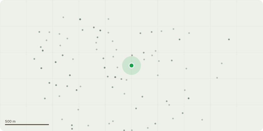
Approximate location
Proposal
Replace existing cabinet, install new cabinet, replace 3no. antennas and install GPS node on phase 7 pole
Key dates
- Received 3 Nov 2026
- Started 3 Nov 2026
Planning history / related applications
No related planning applications have been identified in the current public OGL dataset.
plotEdge API and MCP
Query this record, and every other one, from your own tools
This page is the public OGL record. The same planning data is available by invitation through the plotEdge API and MCP server:
- Search and filters Authority, status, decision, dates, proposal text, tags and map area.
- Change feed New and changed council records since your last checkpoint.
- Derived tags Development type and residential tags, with the evidence behind them.
- Application detail Source references and coordinate history for each record.
- Freshness When each council's data last changed in plotEdge.
- AI assistants The same queries as MCP tools for Claude and other MCP clients.
Source: public planning application data from Southend-on-Sea, reused under the Open Government Licence v3.0. View the council source record. Council documents and drawings are not republished on plotEdge.