Southampton
Southampton/26/00102/TPO
Highfield Campus University of Southampton University Road Southampton
- Reference
- Southampton/26/00102/TPO
- Authority
- Southampton
- Application type
- Tree preservation order
- Address
- Highfield Campus University of Southampton University Road Southampton
- Status
- Approved
- Decision
- Approve with Conditions
- Received
- 9 Apr 2026
- Validated
- 9 Apr 2026
- Started
- 9 Apr 2026
- Decided
- 27 May 2026
- Source council
- Southampton
- Council source record
- View public record
- Public data licence
- Open Government Licence v3.0
- Record updated
- 6 Aug 2026
- SEO index generated
- 7 Aug 2026
Location
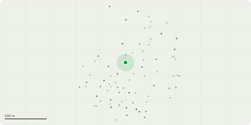
Approximate location
Proposal
T61 Birch (Silver) Crown lift to 3mT71 Sycamore Crown lift to 4m. Remove major dead wood. Sever Ivy at ground level and strip to 2m and remove section. Re-inspect.T173 Holly Cut back branches from phone lines to give clearance of 2m.T269 Lime (Common) Epicormic Regrowth prune to 6m over site.T272 Oak Remove dead wood. Reduce x 2 lowest extended limbs over site.T300 Callery Pear New tree maintenance.T356 Lime Formative pruning. Reduce extended limbs 2-3m. Remove live crossing limbs and crown raise to 4mT368 Liquidamber Remove deadwood. Water. Feed. Formative prune. MulchT369 Liquidamber Remove deadwood. Water. Feed. Formative prune. MulchT370 Liquidamber Remove deadwood. Water. Feed. Formative prune. MulchT371 Liquidamber Remove deadwood. Water. Feed. Formative prune. MulchT379 Tulip Tree Water. Formative pruneT380 Tulip Tree Water. Formative pruneT583 Judas Tree Water. Prune Gorse. Formative pruneT585 Harlequin Glorybower Prune dead crown leaving basal stems. Water. Mulch.T609 Chinese Fir Cunninghamia lanceolata Prune diseased lower limbsT610 Fir (Silver) Prune out dead diseased stems.T703 Copper Beech Remove wire cutting into trunk. Protect trunk from power cable support wire with hose.T734 Acer 'Brilliantissima' Weed water mulch. Prune reversionT810 Box Elder Clear vegetation around tree. Reduce and reshape remaining stem by 1-2m to prevent snapping.
Key dates
- Received 9 Apr 2026
- Validated 9 Apr 2026
- Started 9 Apr 2026
- Decided 27 May 2026
Planning history / related applications
No related planning applications have been identified in the current public OGL dataset.
Inside plotEdge
Go beyond the public record
This page is the public OGL record. plotEdge adds the private intelligence layer for this site - open it in the app to unlock:
- Ownership & title Registered owner and title from HM Land Registry.
- Viability & build potential Site scoring and development upside.
- Constraints Flood risk, green belt, conservation areas and designations.
- Approval signal Planning risk and approval-likelihood analysis.
- Comparable applications Decisions on similar nearby sites, side by side.
- Status alerts Get notified the moment this application changes.
Source: public planning application data from Southampton, reused under the Open Government Licence v3.0. View the council source record. Council documents and drawings are not republished on plotEdge.