Southampton
Southampton/25/00229/TPO
3 Bassett Avenue Southampton
- Reference
- Southampton/25/00229/TPO
- Authority
- Southampton
- Application type
- Tree preservation order
- Address
- 3 Bassett Avenue Southampton
- Status
- Approved
- Decision
- Approve with Conditions
- Received
- 22 Aug 2025
- Validated
- 22 Aug 2025
- Started
- 22 Aug 2025
- Decided
- 13 Oct 2025
- Source council
- Southampton
- Council source record
- View public record
- Public data licence
- Open Government Licence v3.0
- Record updated
- 6 Aug 2026
- SEO index generated
- 7 Aug 2026
Location
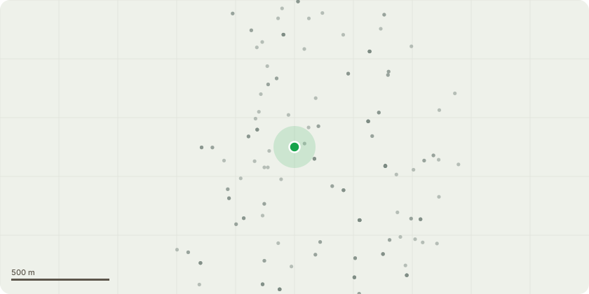
Approximate location
Proposal
T7 Giant redwood Sequoiadendron giganteum - Tip reduction of lateral branches to limit branch extension to 10m to reduce the risk of branch failure. Remove deadwood more than 25mm diameter. Clear building by 2m retaining overhanging branches outside this distance.T9 West Himalayan birch Betula utilis jaquemontii - Crown lift to 3m. Clear building by 2m retaining overhanging branches outside this distance.G10 Laurel Prunus laurocerasus - Clear laurel within 4m of western wooden fence to create and maintain access and improve circumstances of users of adjacent buildings. Cut back on annual basis to boundary on eastern side adjacent to footway to avoid encroachment within the highway. Reduce laurel to 2m to aid long term management. Remove elm growing along the eastern boundary and treat to prevent regrowth.T13 Oak Quercus robur - Remove.T16 Sycamore Acer pseudoplatanus - RemoveT17 Sycamore Acer pseudoplatanus - RemoveT21 Dead - RemoveT22 Sycamore Acer pseudoplatanus - Crown reduction to 12m with a horizontal radial canopy spread of 6m.H24 Western red cedar Thuja plicata - Reduce hedge to 10m. Clear garages and structures by 2m retaining overhanging branches outside this distance. Reduce understorey planting to 1.2m and maintain at this height.H24.1 Western red cedar Thuja plicata - Reduce canopy spread to a horizontal distance of 3m to reduce end weight of southern part of canopy to reduce risk of union failure.
Key dates
- Received 22 Aug 2025
- Validated 22 Aug 2025
- Started 22 Aug 2025
- Decided 13 Oct 2025
Planning history / related applications
No related planning applications have been identified in the current public OGL dataset.
Inside plotEdge
Go beyond the public record
This page is the public OGL record. plotEdge adds the private intelligence layer for this site - open it in the app to unlock:
- Ownership & title Registered owner and title from HM Land Registry.
- Viability & build potential Site scoring and development upside.
- Constraints Flood risk, green belt, conservation areas and designations.
- Approval signal Planning risk and approval-likelihood analysis.
- Comparable applications Decisions on similar nearby sites, side by side.
- Status alerts Get notified the moment this application changes.
Source: public planning application data from Southampton, reused under the Open Government Licence v3.0. View the council source record. Council documents and drawings are not republished on plotEdge.