South Kesteven
South Kesteven/S26/1821
11 Austin Street Stamford Lincolnshire PE9 2QR
- Reference
- South Kesteven/S26/1821
- Authority
- South Kesteven
- Address
- 11 Austin Street Stamford Lincolnshire PE9 2QR
- Postcode
- PE9 2QR
- Status
- Awaiting decision
- Received
- 16 Oct 2026
- Started
- 16 Oct 2026
- Source council
- South Kesteven
- Council source record
- View public record
- Public data licence
- Open Government Licence v3.0
- Record updated
- 17 Oct 2026
- SEO index generated
- 20 Oct 2026
Location
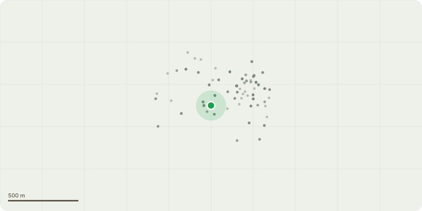
Approximate location
Proposal
Row of 3 boundary beech which are managed to keep at appropriate size for location by pollarding. Repollard back to previously established height and spread into old cuts, this equates to a reduction of around 2m. They will then be left for the next 3 or 4 years until they reach a similar size and the process will repeat. They are on the boundary of a small garden with a large height differential to the neighbouring street (approx a 15ft drop) on a slope too steep to set up a mewp, making annual maintenance via trimming not viable. Therefore the pollard cycle is the best method of keeping the trees to be of a high aesthetic value whilst holding them at an appropriate size for location.
Key dates
- Received 16 Oct 2026
- Started 16 Oct 2026
Planning history / related applications
No related planning applications have been identified in the current public OGL dataset.
Inside plotEdge
Go beyond the public record
This page is the public OGL record. plotEdge adds the private intelligence layer for this site - open it in the app to unlock:
- Ownership & title Registered owner and title from HM Land Registry.
- Viability & build potential Site scoring and development upside.
- Constraints Flood risk, green belt, conservation areas and designations.
- Approval signal Planning risk and approval-likelihood analysis.
- Comparable applications Decisions on similar nearby sites, side by side.
- Status alerts Get notified the moment this application changes.
Source: public planning application data from South Kesteven, reused under the Open Government Licence v3.0. View the council source record. Council documents and drawings are not republished on plotEdge.