South Gloucestershire
South Gloucestershire/P26/02302/RVC
Airbus Uk Golf Course Lane Filton South Gloucestershire BS34 7QQ
- Reference
- South Gloucestershire/P26/02302/RVC
- Authority
- South Gloucestershire
- Application type
- RVC
- Address
- Airbus Uk Golf Course Lane Filton South Gloucestershire BS34 7QQ
- Postcode
- BS34 7QQ
- Status
- Awaiting decision
- Received
- 12 Oct 2026
- Started
- 12 Oct 2026
- Source council
- South Gloucestershire
- Council source record
- View public record
- Public data licence
- Open Government Licence v3.0
- Record updated
- 16 Oct 2026
- SEO index generated
- 17 Oct 2026
Location
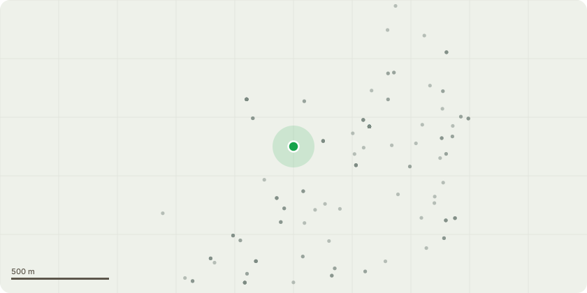
Approximate location
Proposal
Variation of condition 1 attached to permission P23/03018/RVC (formerly P20/06157/RVC , PT18/0497/RVC and PT16/0328/F) to amend the wording to 'The aircraft wing storage building and fenced tool/jig storage area currently present at the site shall be removed and the land restored to its former condition and function (including a car park of 100 no. spaces) once they are no longer required; or at the latest by 31 December 2029." Erection of 2no. aircraft wing storage buildings located on staff car park and re-location of 23 car parking spaces for a period of 2 years.
Key dates
- Received 12 Oct 2026
- Started 12 Oct 2026
Planning history / related applications
No related planning applications have been identified in the current public OGL dataset.
Inside plotEdge
Go beyond the public record
This page is the public OGL record. plotEdge adds the private intelligence layer for this site - open it in the app to unlock:
- Ownership & title Registered owner and title from HM Land Registry.
- Viability & build potential Site scoring and development upside.
- Constraints Flood risk, green belt, conservation areas and designations.
- Approval signal Planning risk and approval-likelihood analysis.
- Comparable applications Decisions on similar nearby sites, side by side.
- Status alerts Get notified the moment this application changes.
Source: public planning application data from South Gloucestershire, reused under the Open Government Licence v3.0. View the council source record. Council documents and drawings are not republished on plotEdge.