South Gloucestershire
South Gloucestershire/DOC26/00048
Land At The Former Filton Runway Filton South Gloucestershire
- Reference
- South Gloucestershire/DOC26/00048
- Authority
- South Gloucestershire
- Address
- Land At The Former Filton Runway Filton South Gloucestershire
- Status
- Awaiting decision
- Received
- 10 Feb 2026
- Started
- 10 Feb 2026
- Source council
- South Gloucestershire
- Council source record
- View public record
- Public data licence
- Open Government Licence v3.0
- Record updated
- 6 Aug 2026
- SEO index generated
- 7 Aug 2026
Location
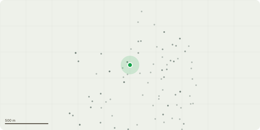
Approximate location
Proposal
Discharge of Conditions 32 (Construction Phase Surface Water Sediment), 34 (Contamination) and 51 (BREEAM pre-assessment of non-residential) attached to planning permission P22/02113/O Mixed use development on 141.94 hectares of land comprising: residential development for up to 6,500 dwellings; Student Accommodation (Sui Generis); Business Office and Research development (Use Class E); General Industry (Use Class B2); Hotels (Use Class C1); Extra Care Accommodation (Use Class C2); Education provision to include a Secondary School, Primary Schools, Childrens Nurseries and further education buildings (Use Class E and F1); Community centres and uses inclusive of library, health (including GP and Dental facilities), and built sport facilities, (Use Class E, F1 and F2); Other E use class town centre uses up to inclusive of, public house and other drinking establishments, and hot food takeaway (Sui Generis) together with; supporting infrastructure and facilities including demolition, ground works and remediation, highways and parking inclusive of pedestrian and cycle routes, public transport inclusive of Metrobus route and rail station, utilities, landscaping, sustainable urban drainage, water basins and public open space. Outline application including access, with all other matters reserved (a phased development with each phase being a separate and severable part of the development).
Key dates
- Received 10 Feb 2026
- Started 10 Feb 2026
Planning history / related applications
No related planning applications have been identified in the current public OGL dataset.
Inside plotEdge
Go beyond the public record
This page is the public OGL record. plotEdge adds the private intelligence layer for this site - open it in the app to unlock:
- Ownership & title Registered owner and title from HM Land Registry.
- Viability & build potential Site scoring and development upside.
- Constraints Flood risk, green belt, conservation areas and designations.
- Approval signal Planning risk and approval-likelihood analysis.
- Comparable applications Decisions on similar nearby sites, side by side.
- Status alerts Get notified the moment this application changes.
Source: public planning application data from South Gloucestershire, reused under the Open Government Licence v3.0. View the council source record. Council documents and drawings are not republished on plotEdge.