South Downs National Park
South Downs National Park/SDNP/26/03967/TPO
St Christophers High Street Twyford Hampshire SO21 1NH
- Reference
- South Downs National Park/SDNP/26/03967/TPO
- Authority
- South Downs National Park
- Application type
- Tree preservation order
- Address
- St Christophers High Street Twyford Hampshire SO21 1NH
- Postcode
- SO21 1NH
- Status
- Application in Progress
- Received
- 14 Oct 2026
- Started
- 14 Oct 2026
- Source council
- South Downs National Park
- Council source record
- View public record
- Public data licence
- Open Government Licence v3.0
- Record updated
- 14 Oct 2026
- SEO index generated
- 21 Oct 2026
Location
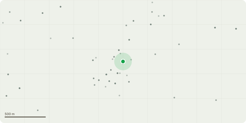
Approximate location
Proposal
T1- Walnut: Permission to carry out a full canopy reduction, reducing the height of the tree by between 2-3m, and the lateral aspects by 1-2m. The tree is getting very large for it's surroundings as well as causing interference with the road, and structure beneath. The Owner wishes to contain the tree to a size appropriate for he garden. T2- Lime: Full canopy reduction by between 50-60%. The tree is incredibly close to the house and blocks a huge amount of light. It has also lost two limbs over the summer months, which have narrowly missed vehicles using the turning space at the end of the road, as well as a high number of pedestrians. This work would allow the tree to be retained at a more appropriate size, and greatly minimising the risk of any further limb failures for an area with such high footfall. T3- Indian Bean Tree: Full canopy reduction by between 2 and 3m. The tree is far too large for it's location, impeeding both the houses and also the pavement. This reduction would allow the the tree to be retained whilst avoiding impact on surrounding structures and footpaths.
Key dates
- Received 14 Oct 2026
- Started 14 Oct 2026
Planning history / related applications
No related planning applications have been identified in the current public OGL dataset.
Inside plotEdge
Go beyond the public record
This page is the public OGL record. plotEdge adds the private intelligence layer for this site - open it in the app to unlock:
- Ownership & title Registered owner and title from HM Land Registry.
- Viability & build potential Site scoring and development upside.
- Constraints Flood risk, green belt, conservation areas and designations.
- Approval signal Planning risk and approval-likelihood analysis.
- Comparable applications Decisions on similar nearby sites, side by side.
- Status alerts Get notified the moment this application changes.
Source: public planning application data from South Downs National Park, reused under the Open Government Licence v3.0. View the council source record. Council documents and drawings are not republished on plotEdge.