South Downs National Park
South Downs National Park/SDNP/26/01015/ADJAUT
Land to The West of Centurion Way; Land at Bishop Luffa School; Land at and Adjoining Westgate; Land to The North-east of Old Broyle Road and St Pauls Road Chichester West Sussex
- Reference
- South Downs National Park/SDNP/26/01015/ADJAUT
- Authority
- South Downs National Park
- Application type
- ADJAUT
- Address
- Land to The West of Centurion Way; Land at Bishop Luffa School; Land at and Adjoining Westgate; Land to The North-east of Old Broyle Road and St Pauls Road Chichester West Sussex
- Status
- Decided
- Decision
- Adj authority consultation response
- Received
- 10 Mar 2026
- Validated
- 10 Mar 2026
- Started
- 10 Mar 2026
- Decided
- 20 Mar 2026
- Source council
- South Downs National Park
- Council source record
- View public record
- Public data licence
- Open Government Licence v3.0
- Record updated
- 6 Aug 2026
- SEO index generated
- 7 Aug 2026
Location
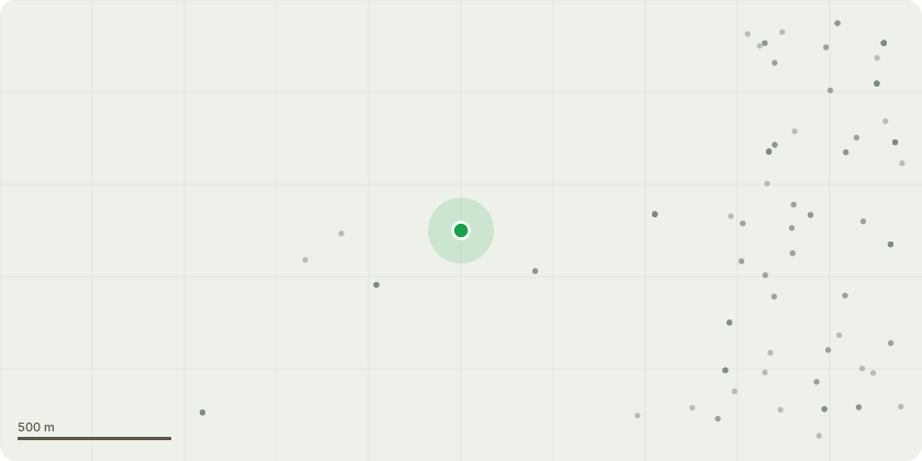
Approximate location
Proposal
Adjoining Authoirty Consultation - CC/26/00213/OUTEIA - Outline planning application with all matters except Access reserved for the second phase of development of the West of Chichester Strategic Development Location (SDL) for up to 850 homes and employment land with vehicular, pedestrian and cycle access from Westgate and via phase 1, extensions to approved phase 1 community facility and primary school, informal and formal open space (including northern Country Park), playing pitches and associated landscaping, utilities and drainage infrastructure. Closure of Clay Lane vehicular access. Application under Section 73 to (i) vary condition 6 of planning permission CC/22/01485/OUTEIA to enable an increase in the number of dwellings permitted to be occupied prior to completion of the Southern Access Road (SAR) from 150 to 424; and (ii) secure off-site highway works to the St Pauls Road/Norwich Road/Sherborne Road junction to mitigate the impact of the revised SAR delivery trigger upon its operation.
Key dates
- Received 10 Mar 2026
- Validated 10 Mar 2026
- Started 10 Mar 2026
- Decided 20 Mar 2026
Planning history / related applications
No related planning applications have been identified in the current public OGL dataset.
Inside plotEdge
Go beyond the public record
This page is the public OGL record. plotEdge adds the private intelligence layer for this site - open it in the app to unlock:
- Ownership & title Registered owner and title from HM Land Registry.
- Viability & build potential Site scoring and development upside.
- Constraints Flood risk, green belt, conservation areas and designations.
- Approval signal Planning risk and approval-likelihood analysis.
- Comparable applications Decisions on similar nearby sites, side by side.
- Status alerts Get notified the moment this application changes.
Source: public planning application data from South Downs National Park, reused under the Open Government Licence v3.0. View the council source record. Council documents and drawings are not republished on plotEdge.