South Downs National Park
South Downs National Park/SDNP/24/04128/TPO
Street Record Itchen Close Petersfield Hampshire
- Reference
- South Downs National Park/SDNP/24/04128/TPO
- Authority
- South Downs National Park
- Application type
- Tree preservation order
- Address
- Street Record Itchen Close Petersfield Hampshire
- Status
- Application Determined
- Decision
- Approved
- Received
- 8 Oct 2024
- Validated
- 8 Oct 2024
- Started
- 8 Oct 2024
- Decided
- 17 Dec 2024
- Source council
- South Downs National Park
- Council source record
- View public record
- Public data licence
- Open Government Licence v3.0
- Record updated
- 6 Aug 2026
- SEO index generated
- 7 Aug 2026
Location
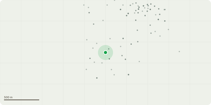
Approximate location
Proposal
T1 - Goat willow beside number 6 - Repollard to 3m as a lapsed pollard and this proposed works will prevent branch/ bough failureT2- Ash - to rear of number 20 - Tip reduce branches growing towards house to create 2m clearance from fabric of building.T3 - Ash - to side of number 17 - Fell T4- Goat Willow- to side of number 10 - Fell T5 - Cherry - to front of number 15. - Remove branch obstructing lamp columnClient has no plans to replant / replace felled trees as T4 is within area of unmanaged scrub and the felled tree will regenerate from the stump and T3 is a relatively small tree within a hedge/ shelter belt and no discernible gap will we noticeable within that group of trees and whatever gap there is will be refilled by the natural growth of adjoining trees/shrubs and vegetation.
Key dates
- Received 8 Oct 2024
- Validated 8 Oct 2024
- Started 8 Oct 2024
- Decided 17 Dec 2024
Planning history / related applications
No related planning applications have been identified in the current public OGL dataset.
Inside plotEdge
Go beyond the public record
This page is the public OGL record. plotEdge adds the private intelligence layer for this site - open it in the app to unlock:
- Ownership & title Registered owner and title from HM Land Registry.
- Viability & build potential Site scoring and development upside.
- Constraints Flood risk, green belt, conservation areas and designations.
- Approval signal Planning risk and approval-likelihood analysis.
- Comparable applications Decisions on similar nearby sites, side by side.
- Status alerts Get notified the moment this application changes.
Source: public planning application data from South Downs National Park, reused under the Open Government Licence v3.0. View the council source record. Council documents and drawings are not republished on plotEdge.