South Downs National Park
South Downs National Park/SDNP/24/02713/ADJAUT
Pipeline From The Reservoir to The North of Middle Park Way to Bedhampton Pumping Station, Meyrick Road, Havant
- Reference
- South Downs National Park/SDNP/24/02713/ADJAUT
- Authority
- South Downs National Park
- Application type
- ADJAUT
- Address
- Pipeline From The Reservoir to The North of Middle Park Way to Bedhampton Pumping Station, Meyrick Road, Havant
- Status
- Decided
- Decision
- Adj authority consultation response
- Received
- 3 Jul 2024
- Validated
- 3 Jul 2024
- Started
- 3 Jul 2024
- Decided
- 11 Jul 2024
- Source council
- South Downs National Park
- Council source record
- View public record
- Public data licence
- Open Government Licence v3.0
- Record updated
- 6 Aug 2026
- SEO index generated
- 7 Aug 2026
Location
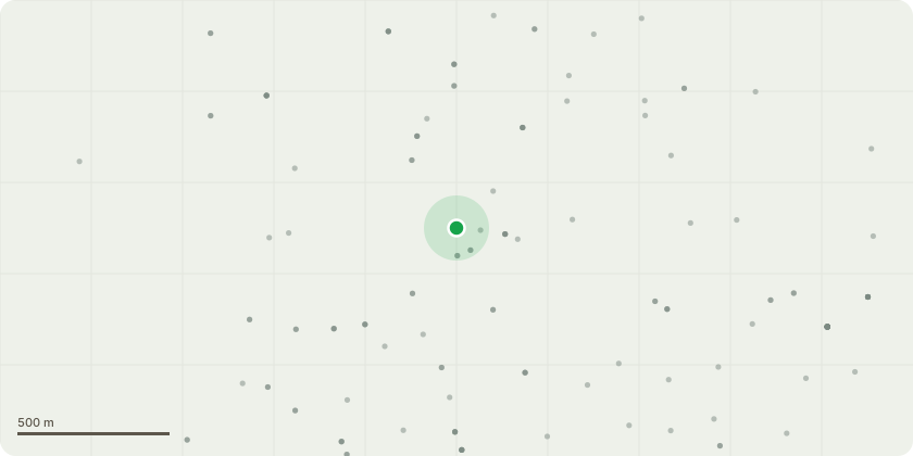
Approximate location
Proposal
Adjoining Authority Consultation - Havant Borough Council (APP/24/00405) - Hybrid application seeking: 1) Full permission for development of newpipelines to transfer water from Bedhampton Springs to fill the reservoir in the winter and draw it off totreat and supply when needed in the summer, comprising: construction of two predominantlyunderground pipes in tunnels linking the reservoir with the existing pumping station at Bedhampton withassociated infrastructure including: emergency drawdown discharge structure at Hermitage Stream;construction of eight access shafts; upgrades to existing culverts close to shafts five, six and eight tomanage flood risk; washout and air valve chambers (typically below ground), new plant at BedhamptonPumping Station, modifications to Bedhampton 2 operational building and permanent diversion ofFootpath 34 at Bedhampton Pumping Station.2) Outline application for an associated underground cross-connection chamber and above ground kioskat the reservoir site with vehicular accesses for maintenance. An Environmental Statement has been submitted with the application under the Town and CountryPlanning (Environmental Impact Assessment) Regulations 2017
Key dates
- Received 3 Jul 2024
- Validated 3 Jul 2024
- Started 3 Jul 2024
- Decided 11 Jul 2024
Planning history / related applications
No related planning applications have been identified in the current public OGL dataset.
Inside plotEdge
Go beyond the public record
This page is the public OGL record. plotEdge adds the private intelligence layer for this site - open it in the app to unlock:
- Ownership & title Registered owner and title from HM Land Registry.
- Viability & build potential Site scoring and development upside.
- Constraints Flood risk, green belt, conservation areas and designations.
- Approval signal Planning risk and approval-likelihood analysis.
- Comparable applications Decisions on similar nearby sites, side by side.
- Status alerts Get notified the moment this application changes.
Source: public planning application data from South Downs National Park, reused under the Open Government Licence v3.0. View the council source record. Council documents and drawings are not republished on plotEdge.