Solihull
Solihull/PL/2025/00040/NONMC
Land Adjacent Tudor Grange Leisure Centre Blossomfield Road Solihull
- Reference
- Solihull/PL/2025/00040/NONMC
- Authority
- Solihull
- Application type
- NONMC
- Address
- Land Adjacent Tudor Grange Leisure Centre Blossomfield Road Solihull
- Status
- Decided
- Decision
- Approved
- Received
- 8 Jan 2025
- Validated
- 8 Jan 2025
- Started
- 8 Jan 2025
- Decided
- 5 Feb 2025
- Source council
- Solihull
- Council source record
- View public record
- Public data licence
- Open Government Licence v3.0
- Record updated
- 6 Aug 2026
- SEO index generated
- 7 Aug 2026
Location
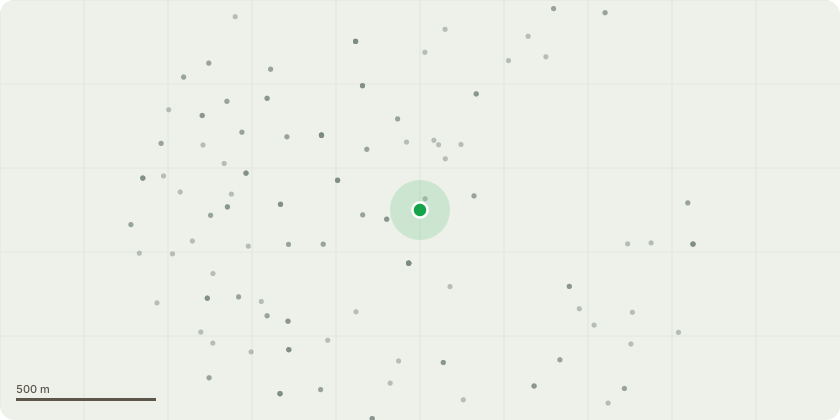
Approximate location
Proposal
Amendments to planning permission 13th May 2024 (PL/2024/00288/MINFOT) for: Development of Solihull Town Centre Energy Centre for the low carbon energy network, associated landscaping and infrastructure. Namely: Reduction in overall Energy Centre footprint; relocation of Energy Centre due to unknown below ground service easement that is parallel to the Network rail boundary; addition of 3 No. new GRP enclosures, National Grid Electricity Distribution, High Voltage and gas kiosk; reduction and relocation of attenuation pond and ecology items - tree planting etc. Elevations: Maintenance platform now present around multi-core chimney; external access staircase to rear elevation; reduction in cladding to rear elevation; reduction to curtain wall glazing to principle elevations; amendments to condition 3 in relation to timing of submission of materials schedule and Condition 14 requiring development to comply with noise levels in updated Plant Noise Assessment.
Key dates
- Received 8 Jan 2025
- Validated 8 Jan 2025
- Started 8 Jan 2025
- Decided 5 Feb 2025
Planning history / related applications
No related planning applications have been identified in the current public OGL dataset.
Inside plotEdge
Go beyond the public record
This page is the public OGL record. plotEdge adds the private intelligence layer for this site - open it in the app to unlock:
- Ownership & title Registered owner and title from HM Land Registry.
- Viability & build potential Site scoring and development upside.
- Constraints Flood risk, green belt, conservation areas and designations.
- Approval signal Planning risk and approval-likelihood analysis.
- Comparable applications Decisions on similar nearby sites, side by side.
- Status alerts Get notified the moment this application changes.
Source: public planning application data from Solihull, reused under the Open Government Licence v3.0. View the council source record. Council documents and drawings are not republished on plotEdge.