Salford
Salford/OTH/2025/1108
Rigby Street, Northumberland Street and Tully Street, Broughton, Salford
- Reference
- Salford/OTH/2025/1108
- Authority
- Salford
- Application type
- Consent under Tree Preservation Orders
- Address
- Rigby Street, Northumberland Street and Tully Street, Broughton, Salford
- Status
- Decision Made
- Source council
- Salford
- Council source record
- View public record
- Public data licence
- Open Government Licence v3.0
- Record updated
- 6 Aug 2026
- SEO index generated
- 7 Aug 2026
Location
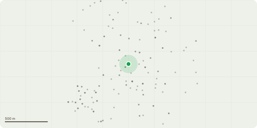
Approximate location
Proposal
T528 Acacia - crown lift to 3m. T529 Hornbeam - crown lift to 3m. G1 7no. Pyrus trees - crown lift to 3m G2 3no. Hornbeam trees - crown lift to 3m T530 Raywood Ash - crown lift to 3m, prune off broken branches. T531 Ash - prune for clearance of 3m of building, crown lift to 5m. T532 Ash - prune for clearance of 3m of building, crown lift to 5m. T533 Ash - prune for clearance of 3m of building, crown lift to 5m. T534 Robinia - crown lift to 3m. T535 Cherry - prune for clearance of 3m of building, crown lift to 5m. T419 Hornbeam - prune for clearance of 3m of building, crown lift to 3m. T420 Cherry - crown lift to 3m. T536 Cherry - crown lift to 3m. Prune off a branch. T537 Silver Birch - crown lift to 3m. T239 Cherry - fell. T240 Rowan - fell. T538 Cherry - crown lift to 3m. T539 Thornless Cockspur - crown lift to 3m. T540 Cherry - crown lift to 3m. T241 Cherry - fell T541 Sycamore - prune for clearance of 3m of building, crown lift to 3m. T542 Sycamore - crown lift to 5m. T543 Sycamore - crown lift to 3m. T544 Norway Maple - crown lift to 3m. T545 Field Maple - crown lift to 3m. T546 Sycamore - crown lift to 3m. T547 Sycamore - prune for clearance of 5m of building, crown lift to 5m. T548 Sycamore - crown lift to 5m. T549 Sycamore - crown lift to 5m. T550 Sycamore - crown lift to 3m.
Planning history / related applications
No related planning applications have been identified in the current public OGL dataset.
Inside plotEdge
Go beyond the public record
This page is the public OGL record. plotEdge adds the private intelligence layer for this site - open it in the app to unlock:
- Ownership & title Registered owner and title from HM Land Registry.
- Viability & build potential Site scoring and development upside.
- Constraints Flood risk, green belt, conservation areas and designations.
- Approval signal Planning risk and approval-likelihood analysis.
- Comparable applications Decisions on similar nearby sites, side by side.
- Status alerts Get notified the moment this application changes.
Source: public planning application data from Salford, reused under the Open Government Licence v3.0. View the council source record. Council documents and drawings are not republished on plotEdge.