Rutland
Rutland/2024/1291/CAT
Trees Along Pinfold Lane South Luffenham Rutland
- Reference
- Rutland/2024/1291/CAT
- Authority
- Rutland
- Application type
- CAT
- Address
- Trees Along Pinfold Lane South Luffenham Rutland
- Status
- Decided
- Decision
- Approve
- Received
- 11 Nov 2024
- Validated
- 11 Nov 2024
- Started
- 11 Nov 2024
- Decided
- 17 Dec 2024
- Source council
- Rutland
- Council source record
- View public record
- Public data licence
- Open Government Licence v3.0
- Record updated
- 6 Aug 2026
- SEO index generated
- 7 Aug 2026
Location
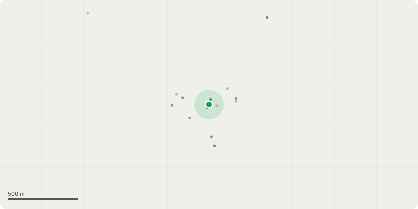
Approximate location
Proposal
Tree 1771 1 No. Oak tree - Cut back basal suckers around base. Sever and strip ivy from the lowest circa 1.5m of trunk to ensure that above dies back. Further reduce crown, cutting to within around 1-1.5m of original pruning points. Retain any internal epicormic growth. Tree 1772 1 No. Sycamore tree - Clear sycamore suckers within a 1.5m radius of the trunk base, cutting them to near ground level. Sever ivy and strip from the lowest 1.5m trunk, ensuring the remainder above dies back. Further reduce the crown, pruning to typically 1m of previous pruning points and retaining any internal minor growth. Tree 1773 1 No. Sycamore - Sever ivy and strip to just above the main fork. It is especially important that this tree is maintained ivy free so that it can be properly assessed during future surveys. Works to remainder of tree group - Cut back small saplings/coppice regeneration on bank adjacent to Pinfold Lane to maintain the full width of the highway. All trees within the group with trunk diameters greater than 20cm to have ivy carefully severed and stripped from their lower trunks (providing an ivy-free band of at least 1m in height to ensure that the remainder above dies back).
Key dates
- Received 11 Nov 2024
- Validated 11 Nov 2024
- Started 11 Nov 2024
- Decided 17 Dec 2024
Planning history / related applications
No related planning applications have been identified in the current public OGL dataset.
Inside plotEdge
Go beyond the public record
This page is the public OGL record. plotEdge adds the private intelligence layer for this site - open it in the app to unlock:
- Ownership & title Registered owner and title from HM Land Registry.
- Viability & build potential Site scoring and development upside.
- Constraints Flood risk, green belt, conservation areas and designations.
- Approval signal Planning risk and approval-likelihood analysis.
- Comparable applications Decisions on similar nearby sites, side by side.
- Status alerts Get notified the moment this application changes.
Source: public planning application data from Rutland, reused under the Open Government Licence v3.0. View the council source record. Council documents and drawings are not republished on plotEdge.