Runnymede
Runnymede/RU.26/1369
Scotland Bridge Road Footbridge
- Reference
- Runnymede/RU.26/1369
- Authority
- Runnymede
- Address
- Scotland Bridge Road Footbridge
- Status
- REGISTERED
- Received
- 16 Oct 2026
- Started
- 16 Oct 2026
- Source council
- Runnymede
- Council source record
- View public record
- Public data licence
- Open Government Licence v3.0
- Record updated
- 17 Oct 2026
- SEO index generated
- 20 Oct 2026
Location
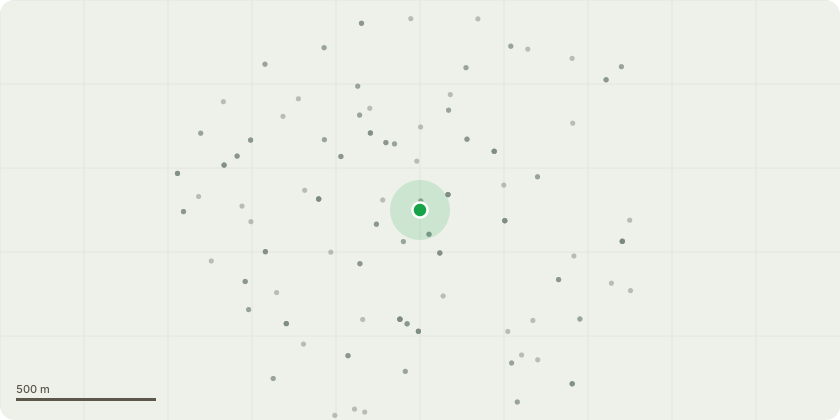
Approximate location
Proposal
The existing 1.7-metre-wide Scotland Bridge Road Footbridge has reached the end of its maintainable life, and routine maintenance is no longer a viable long-term option to ensure public safety. Replacement is urgently required to prevent closure of this vital pedestrian link, which is heavily relied upon by local schools, residents, and businesses. As part of this project, we will be replacing the current 1.7m wide path with a 3 wide footbridge. To meet Surreys commitment for accessibility and active travel, on all projects, we must consider how we can improve routes for community links. The current 1.7m wide path is too narrow for shared use which means disabled access, cyclist and prams are frequently required to stop or give way. Widening the footbridge to a 3m will greatly improve this situation and provide a safer environment for all users. There are five oak trees located near the existing structure. The project team has carefully evaluated these trees to minimise ecological impact. Unfortunately, the root systems of two trees adjacent to the structure (designated T2 and T3 on WT180068-ATRL-SBR-XX-SK-CB-00002) restrict the required new foundations of the footbridge. Even a like-for-like replacement matching the existing footprint would require larger foundations to meet modern design standards. A specialised root survey confirmed that tree roots are too close to the construction area, and the necessary excavation and foundation works will cause too much damage for the trees to be retained. So removal of T2 (Oak) and T3 (Oak) are required under the footbridge replacement scheme. The project team explored multiple design alternatives to avoid tree removal. The proposed scheme represents the most balanced approach. Alternative bridge alignments were considered but ultimately discounted, as they would have resulted in greater ecological disruption, additional land acquisition and negative impact on the canal and surrounding habitat.
Key dates
- Received 16 Oct 2026
- Started 16 Oct 2026
Planning history / related applications
No related planning applications have been identified in the current public OGL dataset.
Inside plotEdge
Go beyond the public record
This page is the public OGL record. plotEdge adds the private intelligence layer for this site - open it in the app to unlock:
- Ownership & title Registered owner and title from HM Land Registry.
- Viability & build potential Site scoring and development upside.
- Constraints Flood risk, green belt, conservation areas and designations.
- Approval signal Planning risk and approval-likelihood analysis.
- Comparable applications Decisions on similar nearby sites, side by side.
- Status alerts Get notified the moment this application changes.
Source: public planning application data from Runnymede, reused under the Open Government Licence v3.0. View the council source record. Council documents and drawings are not republished on plotEdge.