Runnymede
Runnymede/RU.26/1017
10 Waverley Drive Chertsey Surrey KT16 9PG
- Reference
- Runnymede/RU.26/1017
- Authority
- Runnymede
- Address
- 10 Waverley Drive Chertsey Surrey KT16 9PG
- Postcode
- KT16 9PG
- Status
- REGISTERED
- Received
- 5 Aug 2026
- Started
- 5 Aug 2026
- Source council
- Runnymede
- Council source record
- View public record
- Public data licence
- Open Government Licence v3.0
- Record updated
- 13 Aug 2026
- SEO index generated
- 14 Aug 2026
Location
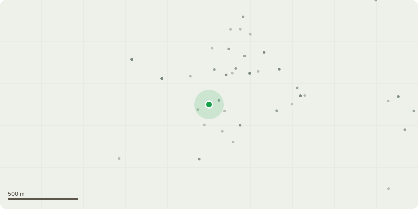
Approximate location
Proposal
Common Beech T1- (on sketch reference- 00234#) is located in the back left hand side of the rear garden at No.10 Waverley Drive. The tree is semi-mature and has a westerly lean toward the main road A320 (Guildford Rd). The tree is in a well protected area with other very mature Beech and Oaks surrounding it from neighbouring gardens. It is also located in an over grown section of garden on a steep bank that is susceptible to erosion and failing. The tops of the tree are dead and some other sections of the outer crown are browning and losing leaves. A reduction on this tree wouldn???t be appropriate as the amount of cutting required would leave too significant wounds, this wouldn???t be recommend by BS3998:2010. The wounds would cause the tree to rot from the tops down. With the proximity to the road and the dieing crown as well as the uncertainty of the bank, my recommendation is to fell the Beech (T1) to ground level and alleviate any further issues or risk of it failing towards the main road. In previous years there has been a mature Beech in this same property fall and snap from the base at 3am, falling directly across the road towards St Peter???s hospital. Blocking the road in both directions and having caused serious delays and damage there is reasonable concern for this removal. There is no plan at current to replant something in its place as the area is heavily overgrown with other shrubs and small trees. As well as being surrounded by other much more mature trees it will prevent any other small sapling from growing as everything else will quickly take over.
Key dates
- Received 5 Aug 2026
- Started 5 Aug 2026
Planning history / related applications
No related planning applications have been identified in the current public OGL dataset.
Inside plotEdge
Go beyond the public record
This page is the public OGL record. plotEdge adds the private intelligence layer for this site - open it in the app to unlock:
- Ownership & title Registered owner and title from HM Land Registry.
- Viability & build potential Site scoring and development upside.
- Constraints Flood risk, green belt, conservation areas and designations.
- Approval signal Planning risk and approval-likelihood analysis.
- Comparable applications Decisions on similar nearby sites, side by side.
- Status alerts Get notified the moment this application changes.
Source: public planning application data from Runnymede, reused under the Open Government Licence v3.0. View the council source record. Council documents and drawings are not republished on plotEdge.