Rugby
Rugby/R26/0883
DENBIGH ARMS INN, MAIN STREET, MONKS KIRBY, RUGBY, CV23 0QX
- Reference
- Rugby/R26/0883
- Authority
- Rugby
- Application type
- Trees in conservation area
- Address
- DENBIGH ARMS INN, MAIN STREET, MONKS KIRBY, RUGBY, CV23 0QX
- Postcode
- CV23 0QX
- Status
- Application valid
- Received
- 25 Sept 2026
- Validated
- 9 Oct 2026
- Started
- 9 Oct 2026
- Source council
- Rugby
- Council source record
- View public record
- Public data licence
- Open Government Licence v3.0
- Record updated
- 10 Oct 2026
- SEO index generated
- 14 Oct 2026
Location
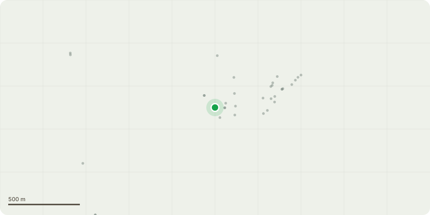
Approximate location
Proposal
Sycamore (T1) Proposed Works: Remove the three lowest branches from the tree to provide clearance and allow the adjacent street light to function effectively. Chip and remove all arisings from site. Justification for Works: The three lowest branches are currently obstructing the light distribution from the nearby street light, reducing its effectiveness and limiting visibility within the surrounding area. The proposed pruning will improve the performance of the street lighting, contributing to public safety for pedestrians and road users. The works are limited to the removal of the three lowest branches only and will not adversely affect the overall health, structure, form, or amenity value of the tree. All pruning will be carried out in accordance with current arboricultural best practice and BS 3998:2010 Tree Work Recommendations. All resulting arisings will be chipped and removed from site, leaving the area clean and tidy upon completion.
Key dates
- Received 25 Sept 2026
- Validated 9 Oct 2026
- Started 9 Oct 2026
Planning history / related applications
No related planning applications have been identified in the current public OGL dataset.
Inside plotEdge
Go beyond the public record
This page is the public OGL record. plotEdge adds the private intelligence layer for this site - open it in the app to unlock:
- Ownership & title Registered owner and title from HM Land Registry.
- Viability & build potential Site scoring and development upside.
- Constraints Flood risk, green belt, conservation areas and designations.
- Approval signal Planning risk and approval-likelihood analysis.
- Comparable applications Decisions on similar nearby sites, side by side.
- Status alerts Get notified the moment this application changes.
Source: public planning application data from Rugby, reused under the Open Government Licence v3.0. View the council source record. Council documents and drawings are not republished on plotEdge.