Rugby
Rugby/R26/0686
19, WARWICK ROAD, WOLSTON, COVENTRY, CV8 3HB
- Reference
- Rugby/R26/0686
- Authority
- Rugby
- Application type
- Works to trees
- Address
- 19, WARWICK ROAD, WOLSTON, COVENTRY, CV8 3HB
- Postcode
- CV8 3HB
- Status
- Application valid
- Received
- 21 Jul 2026
- Validated
- 10 Aug 2026
- Started
- 10 Aug 2026
- Source council
- Rugby
- Council source record
- View public record
- Public data licence
- Open Government Licence v3.0
- Record updated
- 11 Aug 2026
- SEO index generated
- 12 Aug 2026
Location
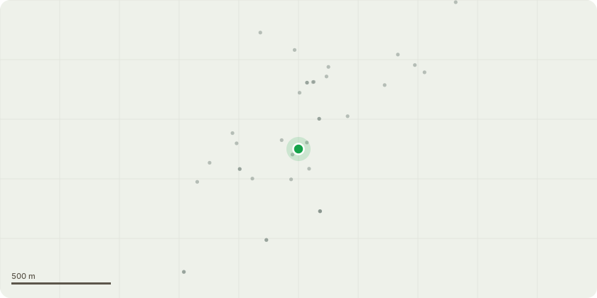
Approximate location
Proposal
Work recommended following an inspection of the trees carrried out by Jaime Bray MICFor, MArborA, Dip Arb (RFS). Lime (T1), Lime (T2), Lime (T3) and Lime (T4): Crown and thin by 20-25% and remove deadwood. Reason: recommendation of arborist for maintenance of trees. Some large deadwood is present in T1 which is adjacent to the Warwick Road pavement / highway which could be a hazard to pedestrians / road users if it fell. The trees also overhang the adjacent property Woodlands, Warwick Road. Lime (T4) has previously been reduced to 10 metres and may have a large cavity. We understand that Lime (T4) and Beech (T5) (which is no longer present) were removed from the TPO in February 2006, but is included here for the avoidance of doubt. N.B. the updated schedule / plan that we have refers to the location as 19 John Simpson Close which I think is clearly an error and should state 19 Warwick Road. T6 Scots Pine Branch Crown thin by 15% and remove large deadwood. Reason: recommendation of arborist. Many of the branches of the Scots Pine overhang the back garden of 12 John Simpson Close.
Key dates
- Received 21 Jul 2026
- Validated 10 Aug 2026
- Started 10 Aug 2026
Planning history / related applications
No related planning applications have been identified in the current public OGL dataset.
Inside plotEdge
Go beyond the public record
This page is the public OGL record. plotEdge adds the private intelligence layer for this site - open it in the app to unlock:
- Ownership & title Registered owner and title from HM Land Registry.
- Viability & build potential Site scoring and development upside.
- Constraints Flood risk, green belt, conservation areas and designations.
- Approval signal Planning risk and approval-likelihood analysis.
- Comparable applications Decisions on similar nearby sites, side by side.
- Status alerts Get notified the moment this application changes.
Source: public planning application data from Rugby, reused under the Open Government Licence v3.0. View the council source record. Council documents and drawings are not republished on plotEdge.