Rotherham
Rotherham/RB2026/0633
Waverley New Community off Highfield Spring Waverley 9999
- Reference
- Rotherham/RB2026/0633
- Authority
- Rotherham
- Address
- Waverley New Community off Highfield Spring Waverley 9999
- Status
- Valid
- Received
- 1 May 2026
- Started
- 1 May 2026
- Source council
- Rotherham
- Council source record
- View public record
- Public data licence
- Open Government Licence v3.0
- Record updated
- 6 Aug 2026
- SEO index generated
- 7 Aug 2026
Location
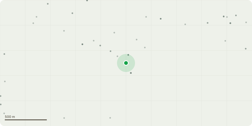
Approximate location
Proposal
Application to vary/remove conditions 14, 15, 16, 17, 18, 19 & 20 (highway related) imposed by RB2022/1076 and amended by Section 96a permission RB2024/0784 -Continuation of outline application with all matters reserved except for the means of access for a new community comprising residential (up to 3890 units), commercial development (including office, live/work, retail, financial and professional services, restaurants, snack bars and cafes, drinking establishments, hot-food takeaways, entertainment and leisure uses and a hotel) and open space (including parkland and public realm, sport and recreation facilities) together with 2 primary schools, health, cultural and community facilities, public transport routes, footpaths, cycleways and bridleways, landscaping, waste facilities and all related infrastructure (including roads, car and cycle parking, gas or biofuel combined heat and power generation plant and equipment, gas facilities, water supply, electricity, district heating, telecommunications, foul and surface water drainage systems and lighting with variation of Condition 28 imposed by RB2017/0743 to update the approved Surface Water Strategy.
Key dates
- Received 1 May 2026
- Started 1 May 2026
Planning history / related applications
No related planning applications have been identified in the current public OGL dataset.
Inside plotEdge
Go beyond the public record
This page is the public OGL record. plotEdge adds the private intelligence layer for this site - open it in the app to unlock:
- Ownership & title Registered owner and title from HM Land Registry.
- Viability & build potential Site scoring and development upside.
- Constraints Flood risk, green belt, conservation areas and designations.
- Approval signal Planning risk and approval-likelihood analysis.
- Comparable applications Decisions on similar nearby sites, side by side.
- Status alerts Get notified the moment this application changes.
Source: public planning application data from Rotherham, reused under the Open Government Licence v3.0. View the council source record. Council documents and drawings are not republished on plotEdge.